
Day 3: Completing the Loowit Circuit
Once again we woke up early, before sunrise. It was a little breezy from a front that had moved through the night before, so it was a bit chilly. Peaking out of the tent, I could feel a cool breeze, but the sky was clear and it was easy to pick out the Ursa Major (Big Dipper) and Orion’s Belt constellations. Although not yet dawn, the horizon was beginning to lighten and it looked like the day ahead would be clear with good visibility.
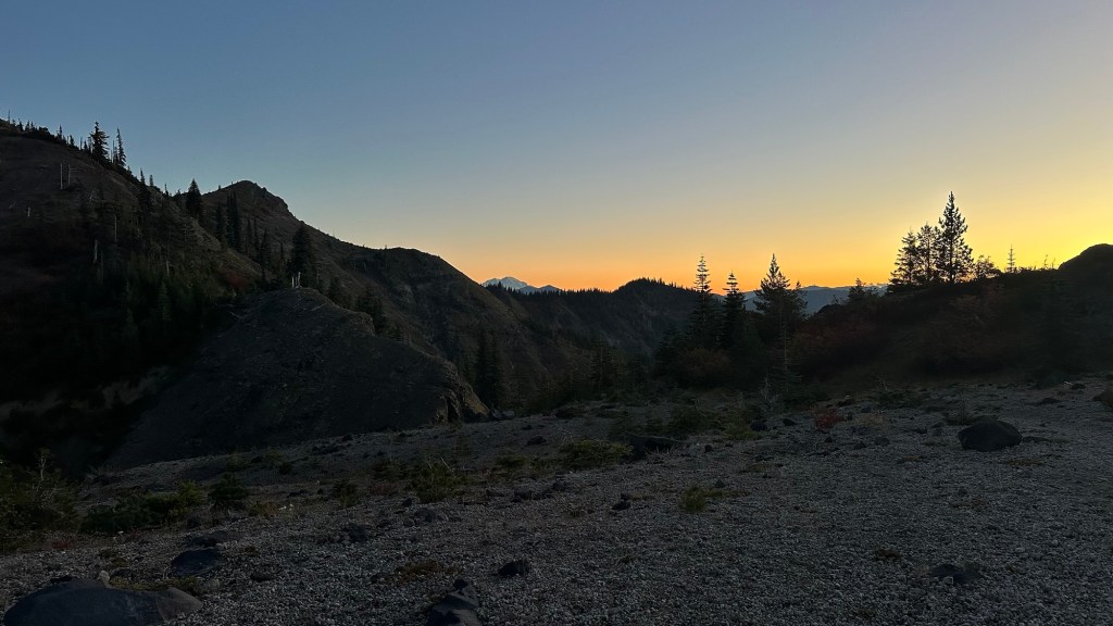
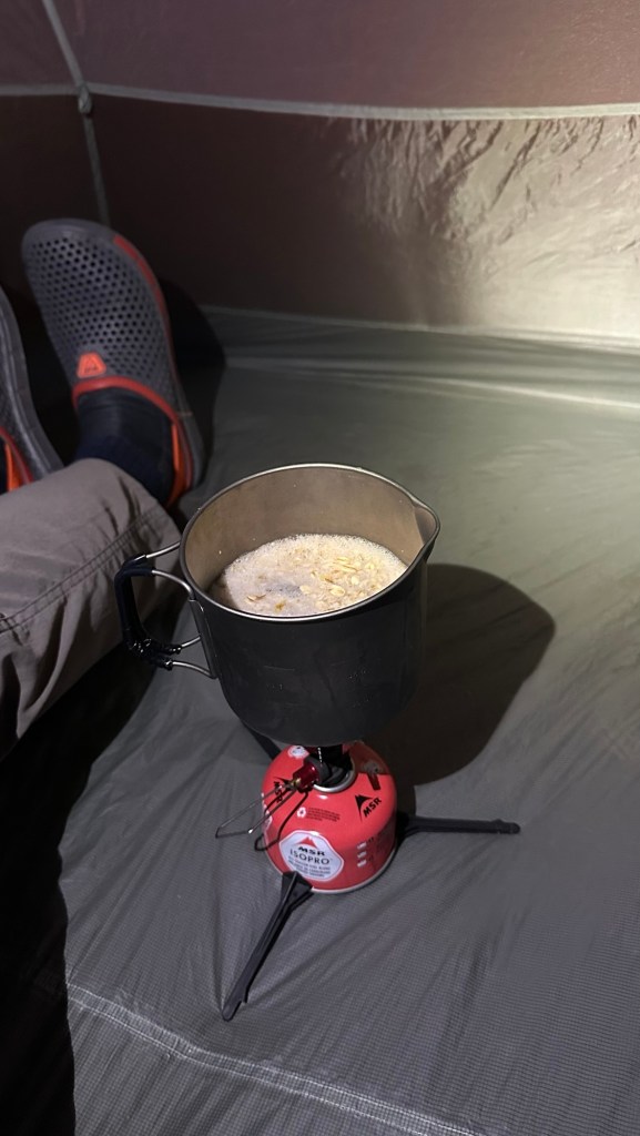
Since it was chilly, I decided to cook breakfast in my tent after I had packed up all my gear. It as nice to enjoy my oatmeal and coffee in the relative warmth of the tent. Once finished it was time to get up and moving for the day. As we packed up, the sky continued to brighten and we were rewarded with views of Mount St. Helens looming above us to the west, Mount Rainier dominating the view to the north, Mount Adams to the east with the sun rising behind it, and Mount Hood to the south.
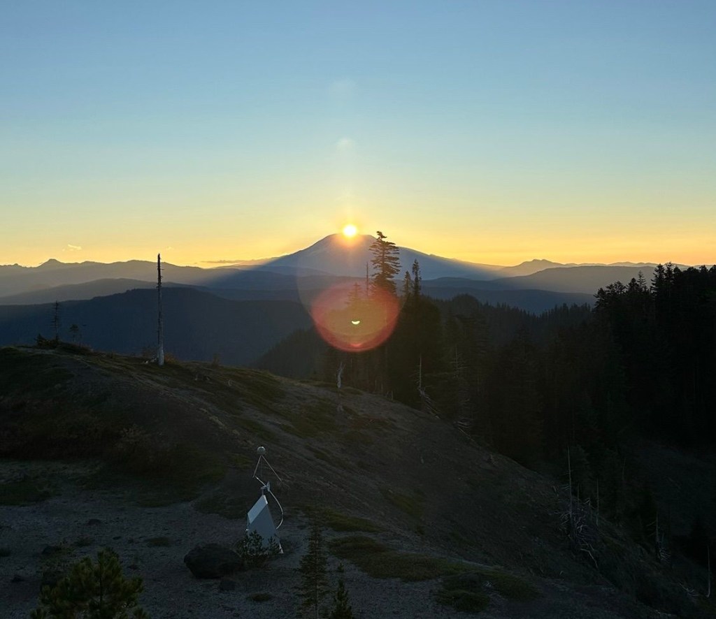
With beautiful views and open terrain, we hit the trail at 7:05 am to begin our final day on the Loowit Trail circuit around Mount St. Helens. The hiking in this region is vastly different from our training grounds in Virginia, where the trees are dense and the viewpoints must be sought out. In contrast, during this hike (particularly on a clear day like this one) we enjoyed un-impeded views that allows us to see 100 mi (160 km) into the distance.
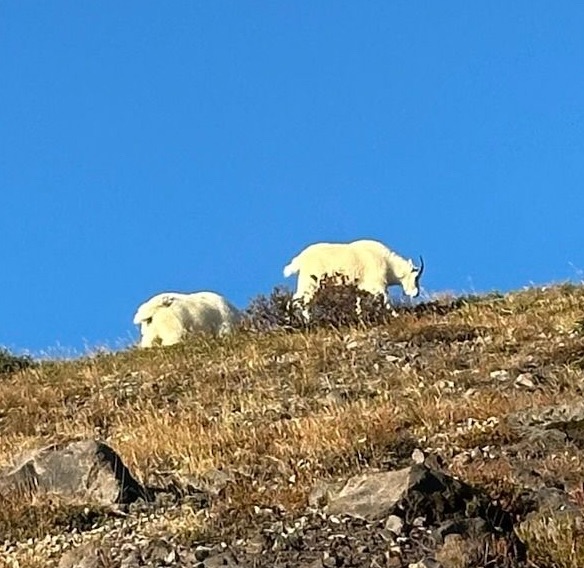
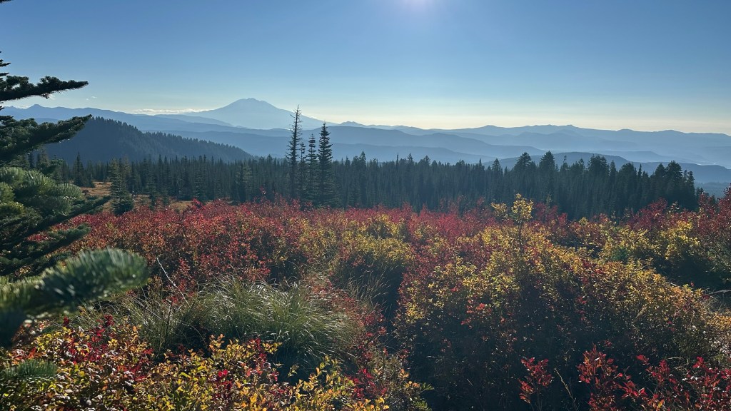
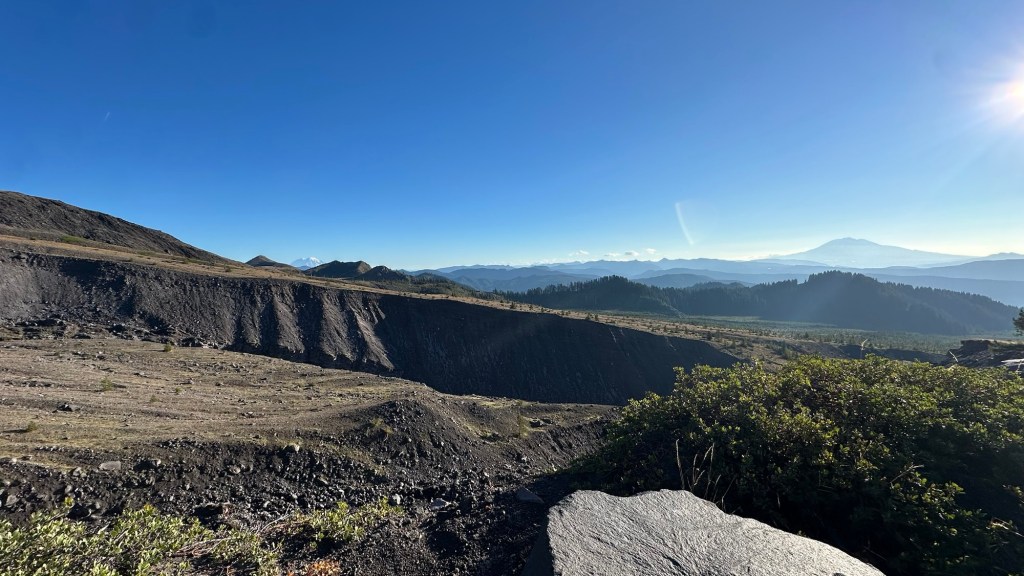
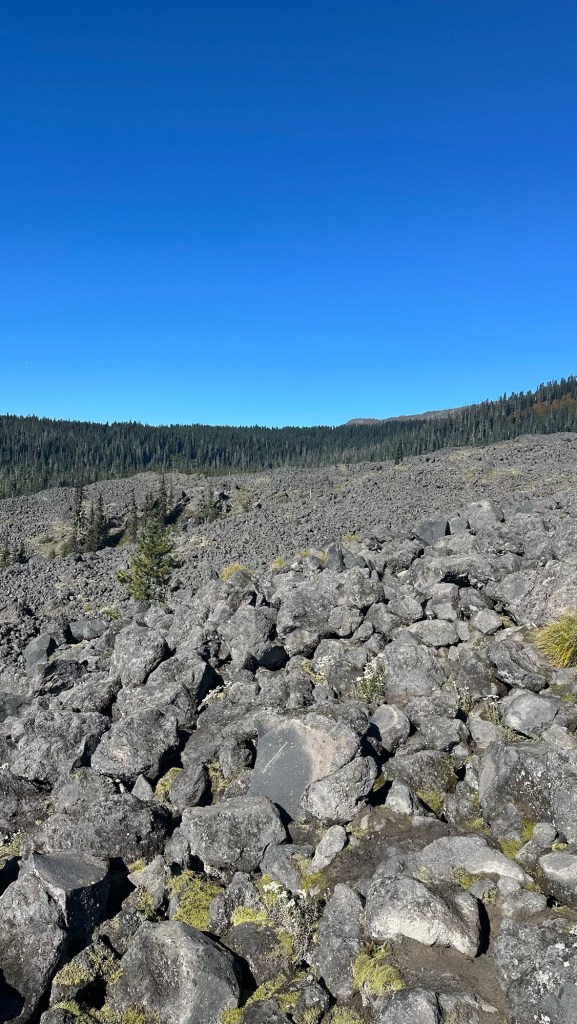
As we progressed around the east shoulder of St. Helens we interrupted some mountain goats grazing nearby. Once again the terrain was challenging with multiple jagged ravines to cross and one final boulder field to navigate through. Ultimately, after a particularly steep 3 mi (5 km) section of the trail we made it to the intersection of the Ptarmigan Trail that would take us back to our start point at the Climber’s Bivouac.
After cleaning up and getting our campsite arranged, it was still early in the afternoon so we decided to venture into the town of La Center for some pizza at the aptly named Podunk Pizza… it was delicious and I would highly recommend it!
Finally back at camp we prepared our gear for our hike to the summit in the morning. We were both looking forward to packs that were much lighter since we only needed to carry water, snacks, and some light layers.
Stomachs full, packs ready… we set our alarms for 5:00 am for our planned departure at 5:45 am.
Day 4: Climbing to the Summit [8,373’ / 2,649m]
After a warm night, we woke up refreshed and ready for the final challenge of this particular adventure. Since we had prepped our summit-day packs the day before, we simply had to take the tents down and we were ready to hit the trail.
We added our names, permit number, departure time and estimated return time to the climber’s log at the trailhead. With that administrative task out of the way, we began our 5 hour climb to the summit. For the first portion of the trail up to the treeline we used our headlamps to illuminate the trail.
An hour later, we arrived at the trail intersection at the top of the treeline. Instead of turning left onto the Loowit Trail that we hiked over the previous 3 days, we continued straight onto the Monitor Ridge Climbing Route. It would take us 4 hours to travel the 2.7 mi (4.3 km) while ascending 3,712’ (1,131m) to the summit.
Now that the sun was rising, we could clearly see the trail markers that defined the steep climb up through the boulder field. Additionally, it was easy to spot other climbers above us who had started earlier than we had.
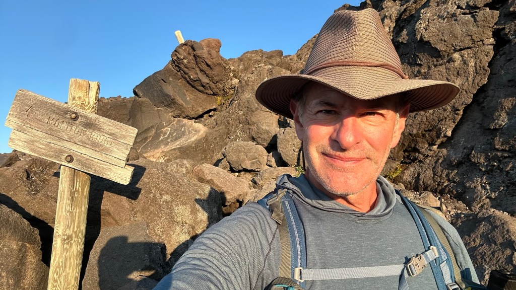
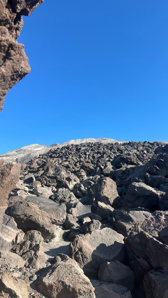
Maintaining a slow, steady, and careful pace, we made our way through the maze of boulders. This kind of climbing required a variety of techniques… everything from shortened trekking poles to straight scramble using just hands and feet to ensure a secure hold since any stumble or fall would surely result in a severe injury.
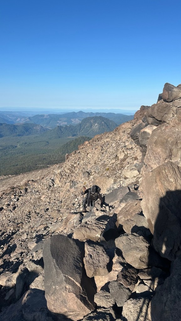
After a couple hours in the boulder field we reached the final slope of lava sand and rock (aka “scree”) that would take us to the crater rim and summit. Now as the time to set a deliberate, but steady pace, ensuring that we could breathe without strain as we climbed the final two hours to the summit.
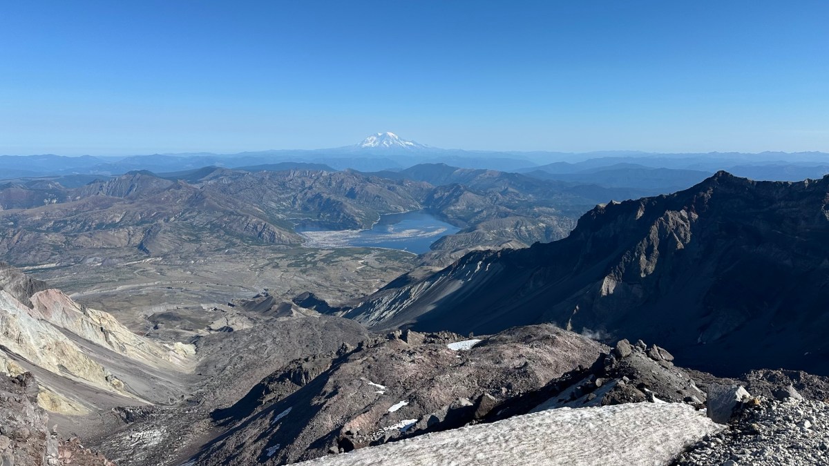
Throughout this portion of the climb it was apparent that our pacing was on spot since we didn’t really need to stop other that to drink water or eat a snack. Finally, we made it to the crater rim and were rewarded with stunning views of the horseshoe-shaped crater with a nearly vertical drop to the lava dome that has been growing over the last 46 years and will eventually become the new summit in the centuries ahead (assuming there isn’t another eruption).
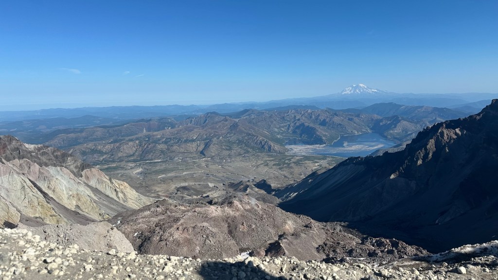
After a moment admiring the views, we turned left to traverse the crater rim to the true summit that was 1/2 mile away and another 170’ higher. This was a fascinating traverse, with the steep mountain slope to the left and the vertical crater wall to the right. Needless to say, we were very careful to stay on the defined trail.
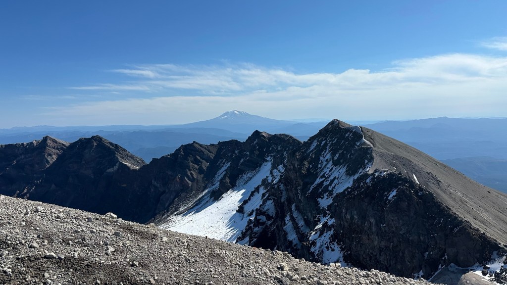
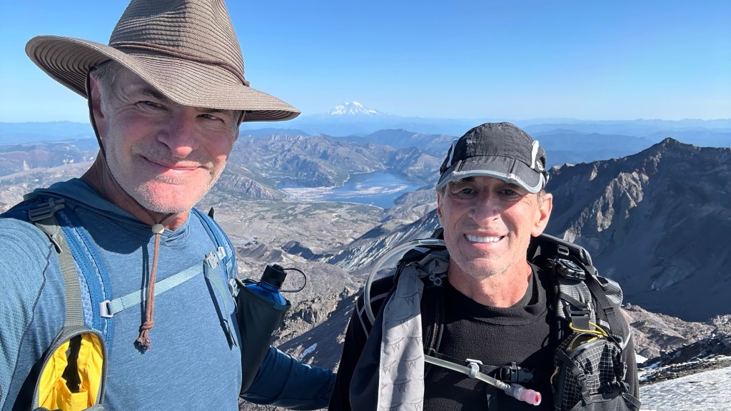
We somehow lucked into a perfect weather day at the summit: sunny, clear, and a light cooling breeze. After enjoying the summit views and some snacks, it was time to head down. Even though it took 2 hours to climb through the scree sections above the boulder field, it took only about 30 minutes to go down that section, mainly due to employing what I call “scree running” (see video below):
With one final passage through the boulder section, we descended through the forest back to the Climer’s Bivouac. Our 4 day adventure was over… It was a tremendous experience to share it with my brother, and see the rugged beauty of a land transformed by a volcanic eruption that occurred 46 years ago.

Author’s Note: If you enjoyed this post, leave a comment or repost to your social media. Also, feel free to explore past adventure series by clicking the “HOME” button below.

