
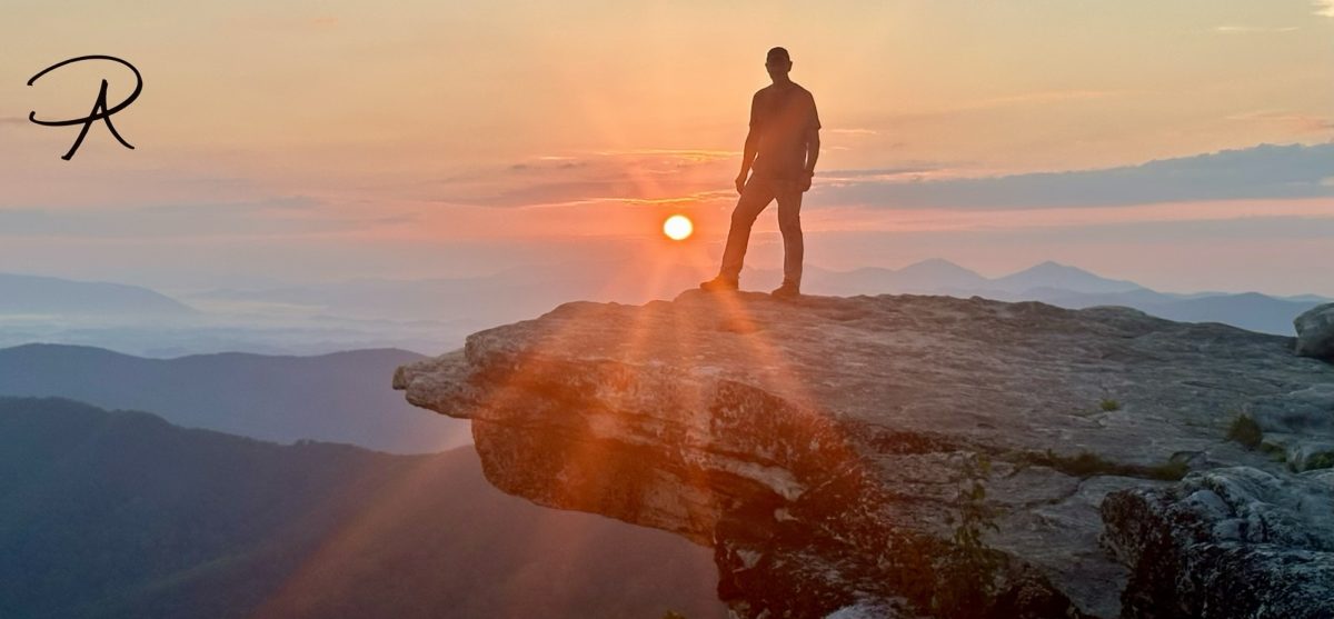
As with any adventure, Mother Nature gets a vote. Sometimes it comes in the form of a sudden, unexpected weather event, and at other times destructive forces can alter landscapes. In most cases the former condition, if encountered, is addressed with preparation and sound critical thinking. But, when the forces of nature conspire to destroy lives, landscapes and infrastructure, one can only be awed by the immense power that cannot be controlled or constrained.
Two weeks out from our departure to the Grand Canyon, a series of torrential rainstorms in the vicinity of Bright Angel Creek on the north side of the canyon resulted in violent and destructive flash floods. These floods devastated much of the infrastructure along Bright Angel Creek and in the bottom of the canyon, including the iconic Phantom Ranch. Despite the successful evacuation of more than 80 hikers and campers, sadly, the flash flood claimed the lives of two men, while one remains missing.
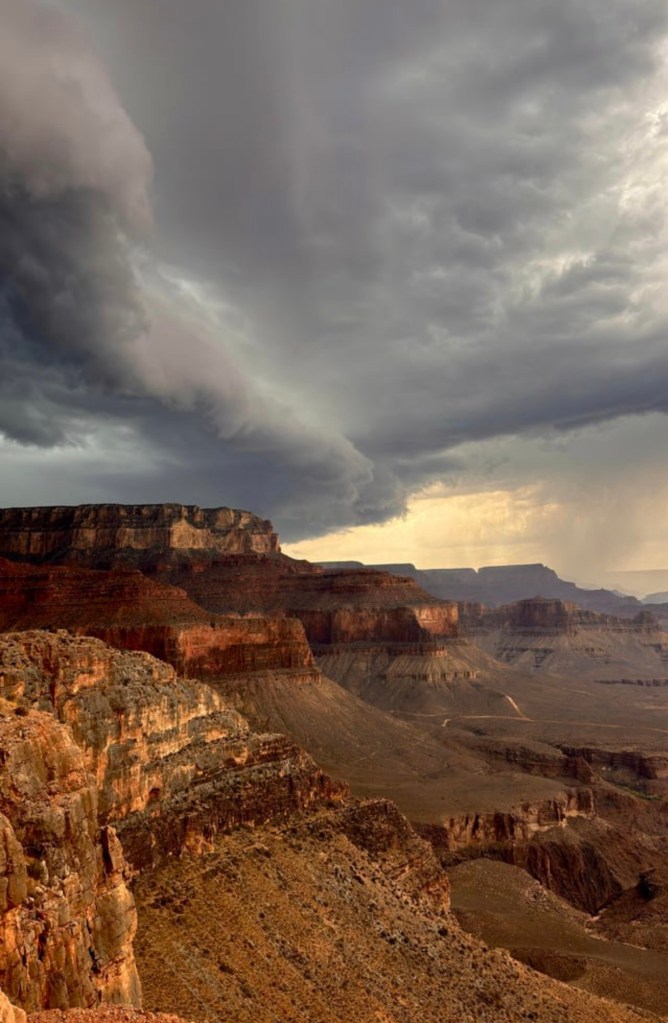
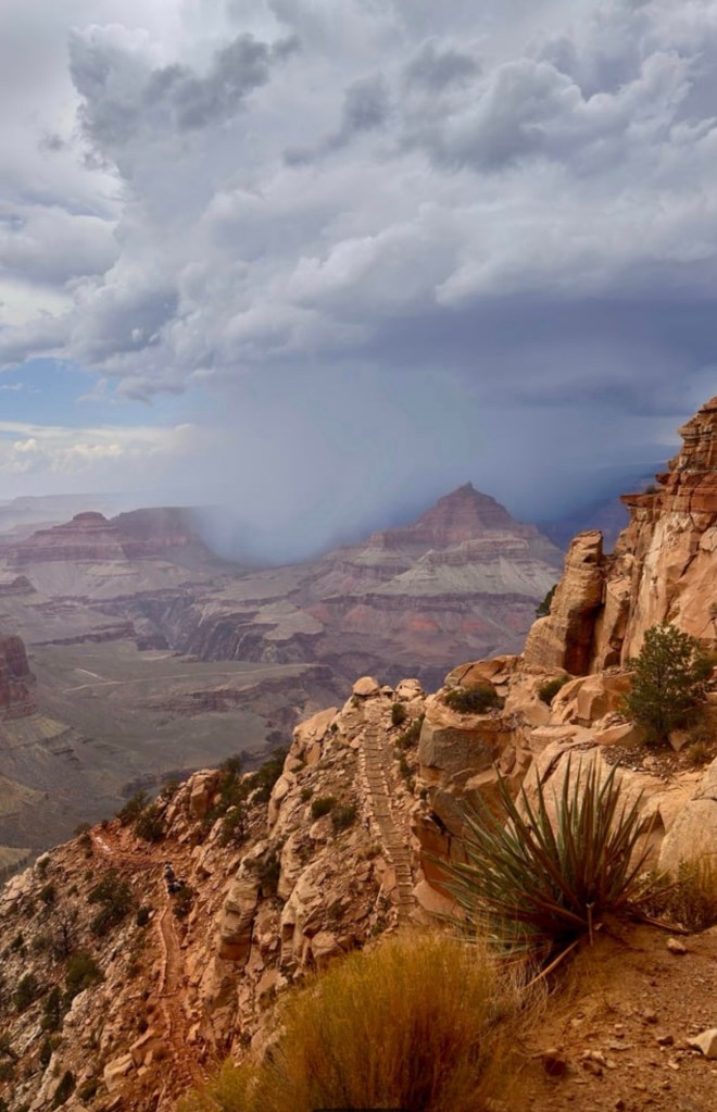
As a result of the floods, there are multiple trail closures inside the canyon and the campsite infrastructure will require a major rebuild. Needless to say, it became very apparent that our planned Rim-to-Rim-to-Rim (R2R2R) hike was not going to happen.
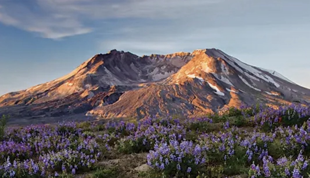
With the bulk of our preparation and conditioning completed, we still had the desire to pursue an adventure. After exploring various options that were similar in scope to our Grand Canyon plan, we pivoted to a different challenge, a 31 mile (50 km) hike around Mount St. Helens along with a 9 mile (15 km) out & back climb to the summit after completing the circuit.
Mount St. Helens is an 8,373’ (2,549m) active stratovolcano located in the Cascade Range in southern Washington state, USA. On May 18, 1980, a massive lateral eruption resulted in the entire north side of the mountain exploding into a plume of rock and ash, creating a 1 mile (1.6 km) wide horseshoe-shaped crater and reduced the mountain’s height by over 1300’ / 400m (from a pre-eruption elevation of 9,677’ / 2,950m).
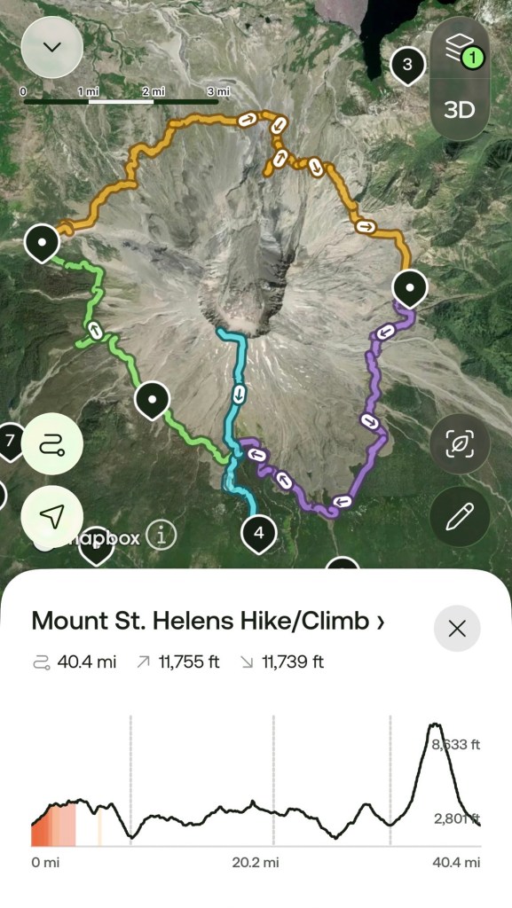
This is an exciting opportunity to explore the altered ecosystem that is a result of the eruption and subsequent 46 years of renewal. We will begin the adventure on the south side of the mountain, passing through old growth forest that was untouched by the eruption. Continuing clockwise around the mountain, we will transition to the stark and barren blast zone on the north side where the stark reality of the eruption transformed once pristine mountain slopes into a moonscape.
Tune in later this month (September 2026) to read about how it went…

Author’s Note: If you enjoyed this post, leave a comment or repost to your social media. Also, feel free to explore past adventure series by clicking the “HOME” button below.


Sorry you had to cancel your original trip. Glad you weren’t there at the time. How devastating. Happy you found an alternative.
LikeLike