
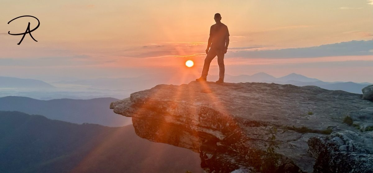
Today began dark and early, waking up at 5:00 am. It was dark outside, so I remained inside the tent getting dressed and packing up my sleep system (sleeping bag, thin fleece liner, air mattress, and pillow). Finally ready to venture outside, it was time to take care of some other routines and prepare breakfast.
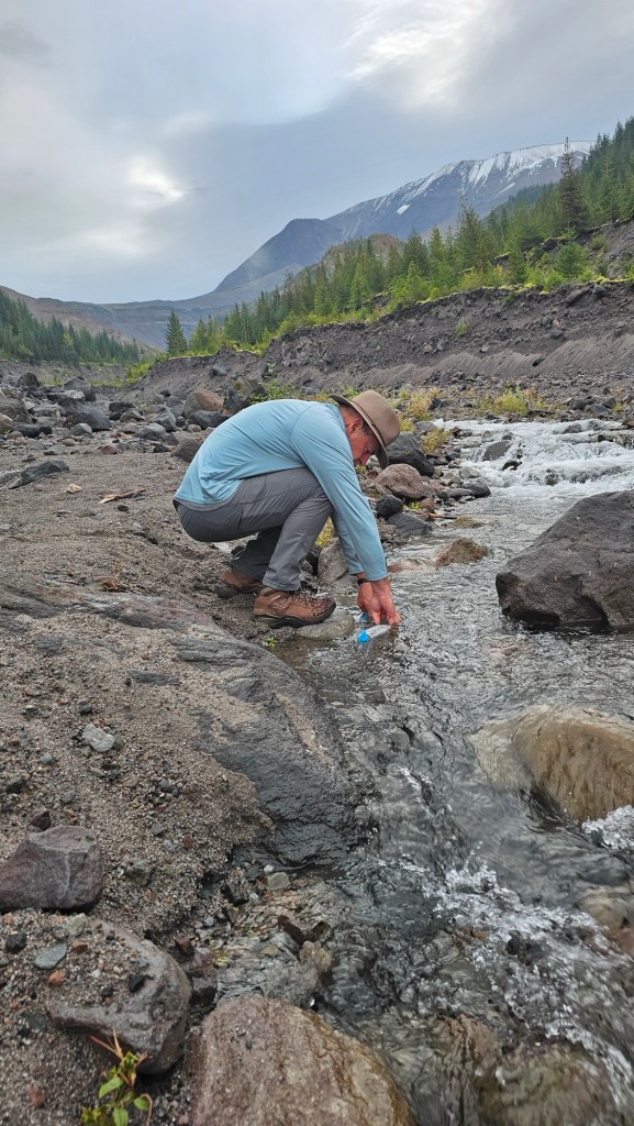
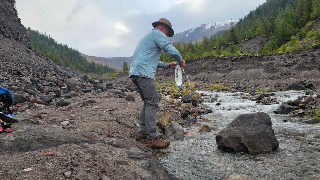
After breakfast we broke down and packed the rest of our gear and we were on the trail at 7:10 am. With a quick descent to the river, which included another rappel down a fixed rope, we carefully crossed the river then stopped to filter water for the day ahead. With that final chore completed, we found yet another rope to assist our climb up the steep rock and volcanic sand embankment.
Day 2: South Fork Toutle River to Ape Canyon
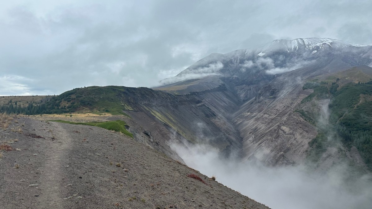
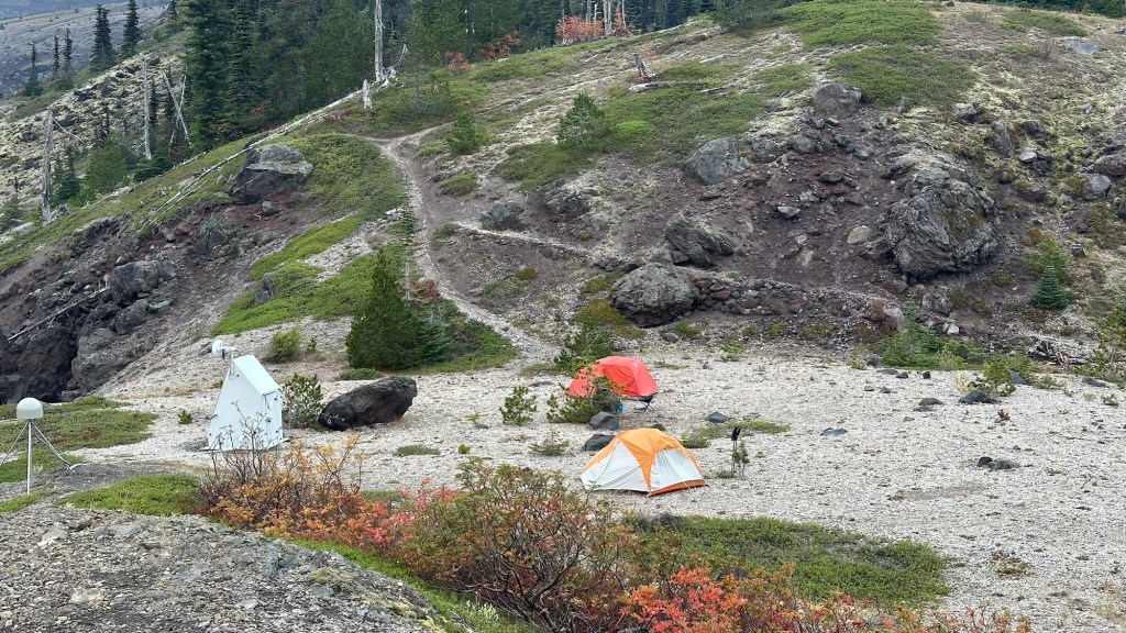
Our hike began with a steep climb up a heavily forested bluff that took us to the edge of the Blast Zone. Interestingly, we passed a USGS seismic monitor, the first of many we would see around the mountain… if there was any doubt that we were on an active volcano, it was cleared up!
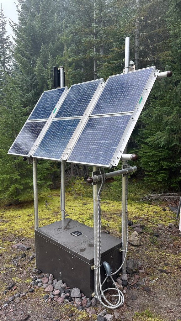
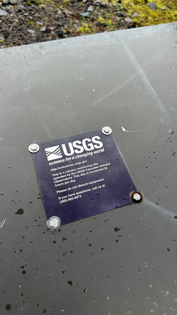
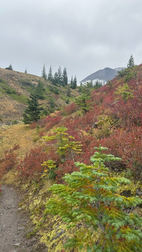
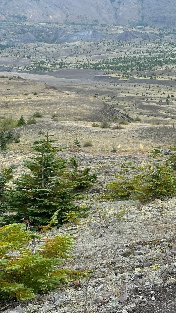
It was a foggy morning, but even so it was immediately apparent that something was different as we left the forest behind. Before us was the Blast Zone… the area that defines the entire northern side of the mountain which was blasted away in the massive eruption on May 18, 1980.
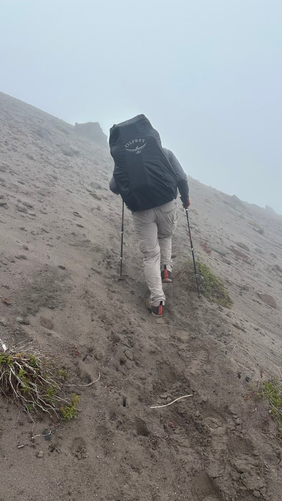
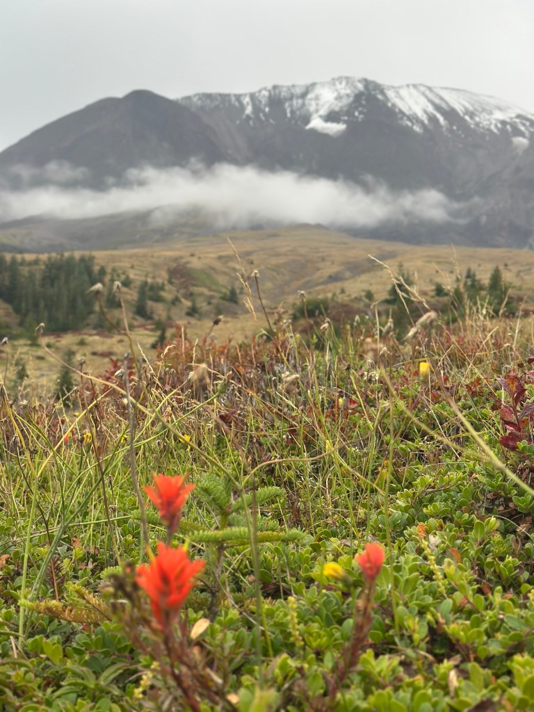
For the remainder of the day, we would be hiking across this rugged and varied landscape, forever changed, but fully in the process of rebirth with abundent mosses, grasses, shrubs, and young pine trees reclaiming the land.
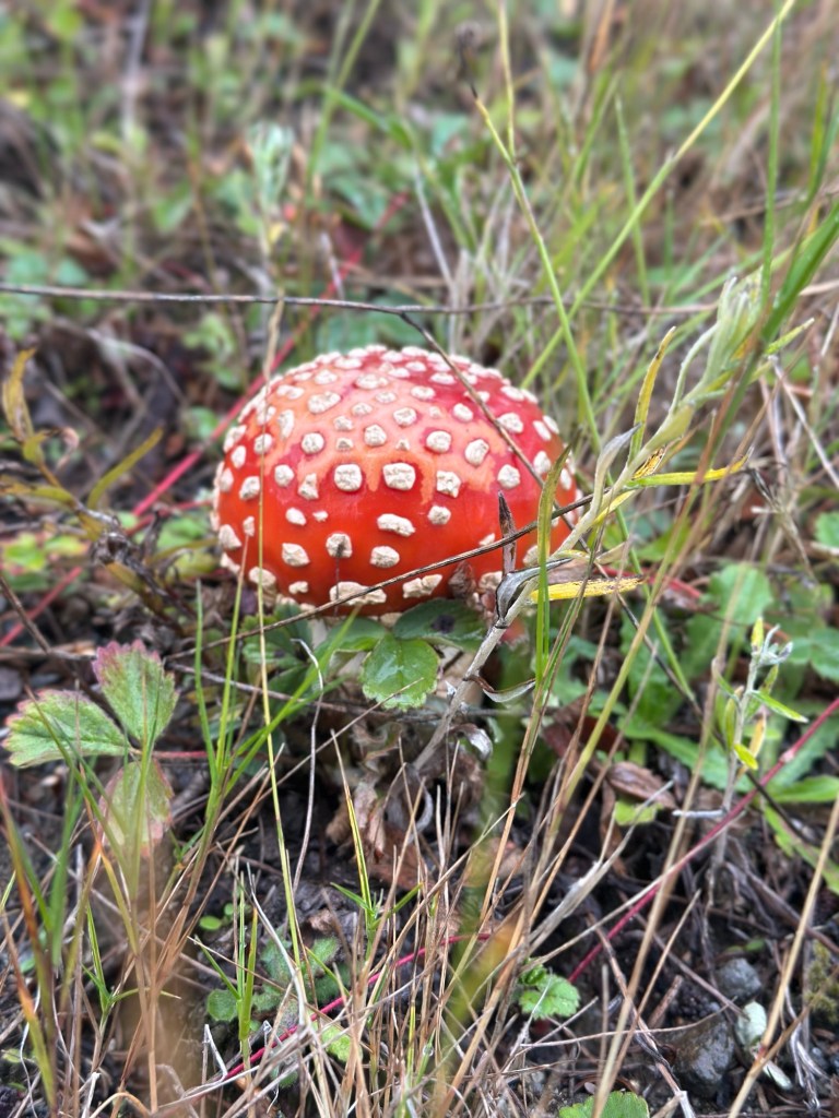
Descending into one of the many jagged ravines of volcanic rock and loose volcanic sand, we heard what sounded like a high-pitched squeal or whistle. Although initially confused as to what the sound was, it became clear when we saw a small herd of elk on a rise above us. The sound was a cow mew, used by the cow elk to communicate with the calves. An impressive bull elk kept a watchful eye on us as we moved across the ravine.
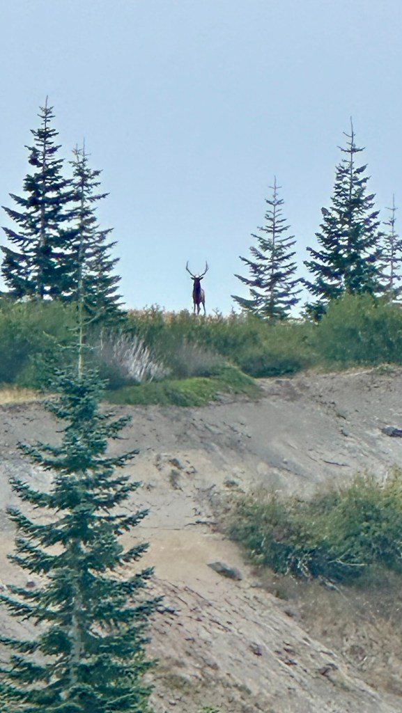
In addition to numerous elk, we encountered two coyote, and saw from a distance, several herds of mountain goats high up on the rocky slopes.
For those wondering if the terrain pictures match the description… they don’t! Everything is steeper, bigger, deeper, and grander than the photos convey
Our day in the Blast Zone featured steep rugged terrain, some with precarious footing, so, with great care and caution we carefully navigated the narrow trails along some deep ravines, some more than 100’ (33m) deep.
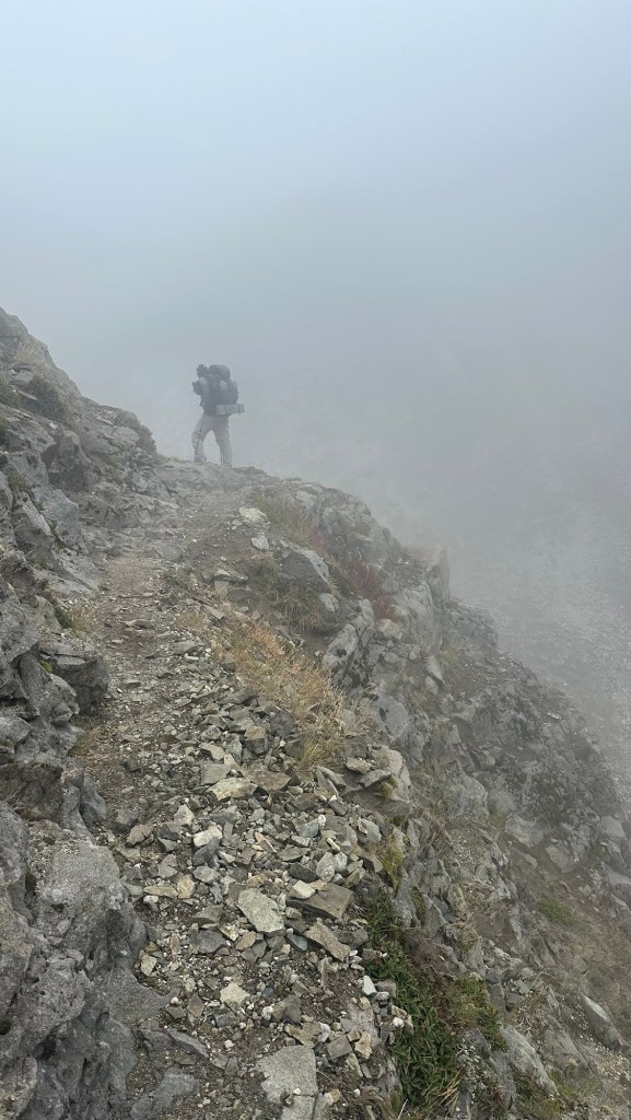
Finally, we made it through the most treacherous sections and enjoyed our last few miles of the day on the relatively flat area named “The Plain of Abraham.”
Since we made such good time and it was still relatively early, we hiked an extra mile to a scenic campsite with 360° views.
Tomorrow we’ll hike the remaining 10 miles (16km) back to our starting point, bringing an end to our hike around Mount St. Helens… then we’ll prepare for our summit hike the next day.
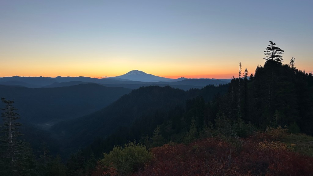
Stay tuned for the final post of this adventure…

Author’s Note: If you enjoyed this post, leave a comment or repost to your social media. Also, feel free to explore past adventure series by clicking the “HOME” button below.

