
Our Mount St. Helens adventure has begun! After a cross-country flight, a short drive from Portland, Oregon to our hotel in Vancouver, Washington, and a brief stop to purchase fuel for our camp stoves (the canisters are prohibited on airlines), we spent the remainder of the travel day relaxing, prepping our gear, and enjoying a nice meal.
Day 1: Climber’s Bivouac to South Fork Toutle River
The next morning we enjoyed a hearty breakfast before the short drive (less than 1.5 hours) to the Climber’s Bivouac located at the Ptarmigan Trailhead in the Gifford Pinchot National Forest. Since our 3-day route around the mountain begins and ends here, we are able to leave some of the food and other gear in the car for our Day 4 summit hike. This convenience allows us to carry slightly less weight in our packs, essentially making this a 3+1 hike where we have a built in re-supply point for the final night of camping prior to our summit hike.
As we begin our hike, we are once again thankful for what is forecast to be a period of pleasant weather: mild day and night temperatures, and perhaps most important… no rain!
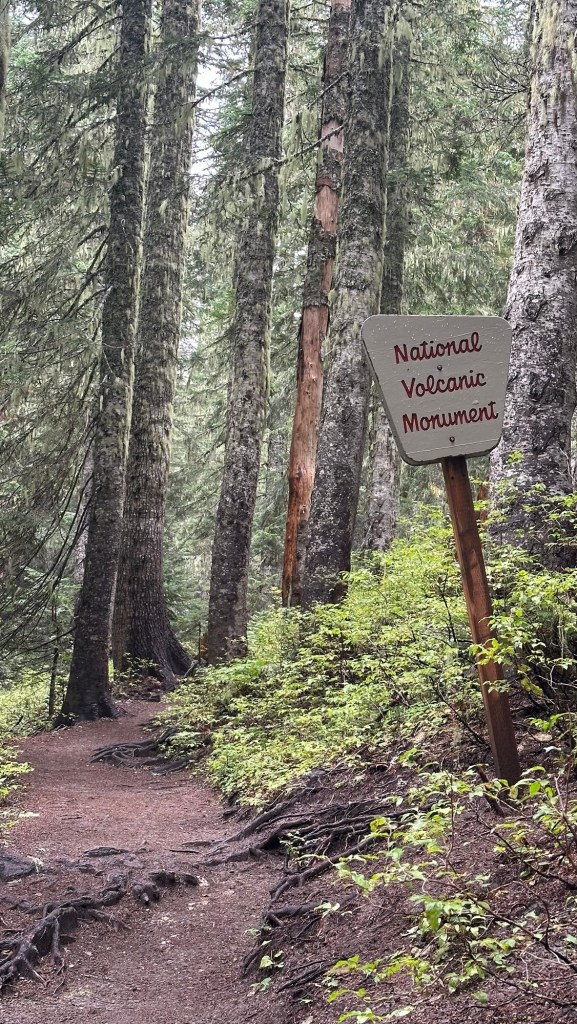
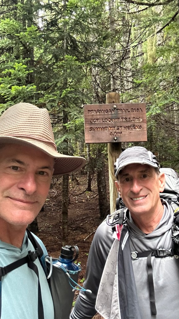
Our route begins in the old growth forest on the southern flanks of the mountain. The Ptarmigan Trail ascends about 900’ (275m) in 1.7 mi (2.7 km) to the intersection of the Loowit Trail, the 30 mi (48 km) loop that we’ll follow in our clockwise circuit around the mountain. During our three days on this trail we will be hiking at elevations between 3,400’ and 4,900’ (1,036m to 1,494m).
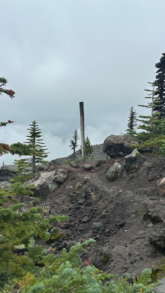
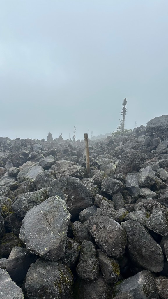
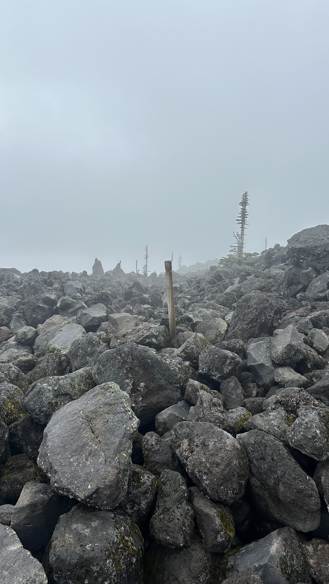
Shortly after turning onto the Loowit Trail, we left the forest behind and entered a vast expanse of lava rocks and boulders. Since there was no discernible trail in this section, we relied on the occasional trail marker poles that at times barely stood out against the rugged terrain. To make it even more difficult, is was slightly foggy. We quickly realized that this section was going to be a pole-to-pole hike, and when we made it to the next pole we scanned the terrain ahead until we were able to spot the next marker. Sometimes this was easy, and often it took quite a bit of searching. Just when we thought we had a system that worked, the Forest Service apparently ran out of poles… hard to imagine since we were in a forest!
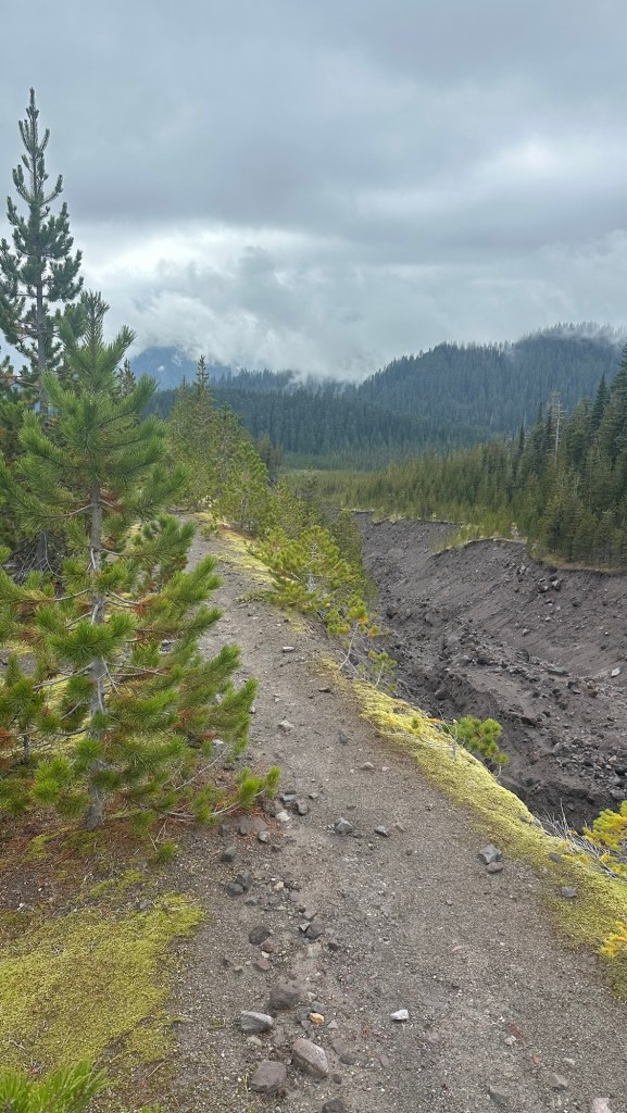
Even though the boulder field section was only about 1 mi (1.6 km), it took us about 1.5 hours to move through it. Finally, though, we made it to the other side where the trail became easy to follow, but we began to notice a series of steep-sided ravines that had clearly been created by some past volcanic activity.
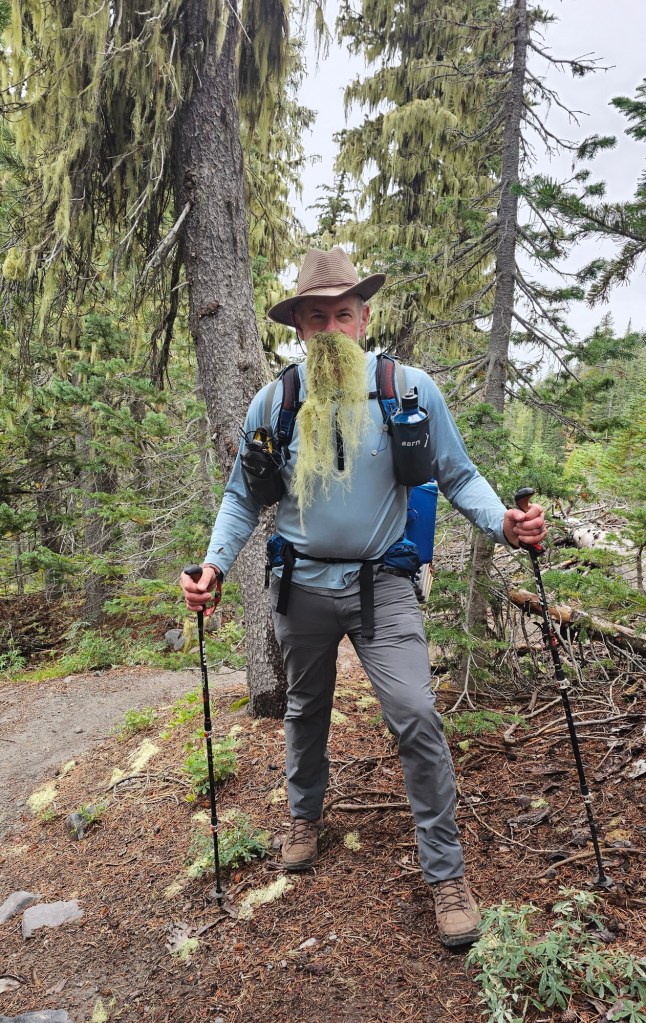
At one point in a mysterious forested section with hanging tendrils of moss draping the trees, a mysterious wisened old man appeared before us claiming to be an ancient sage of the forest… he offered us some kind words of advice and left us with the dual appeals of “do no harm,” and “leave no trace.”
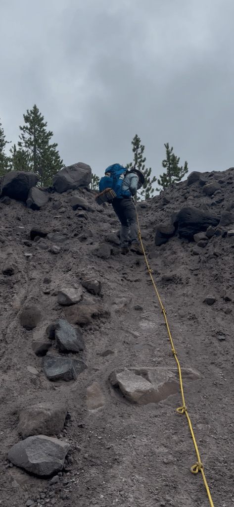
Eventually the path ahead of us ended and the only option left was to cross the ravine. That’s when we noticed a yellow and blue climber’s rope anchored to some trees at the edge of the ravine… then looking across the ravine we spotted a red rope to assist us in our climb out of the ravine to the other side.
With gloves on to ensure a good grip, we forged ahead and rappelled about 30’ (10m) down to the bottom, then transitioned to the red rope to assist our 50’ (15m) climb out of the ravine…. Not too bad for a couple guys in their 60’s!
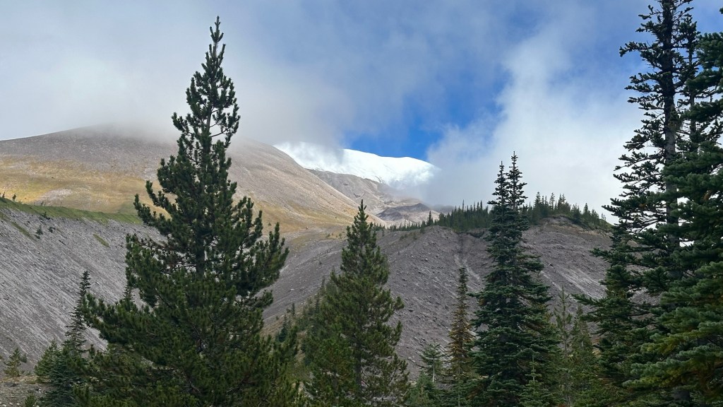
Continuing our clockwise circuit, we began to notice a massive treeless hill before us. We speculated that it was probably the west side of the massive crater created by the 1980 eruption. A patch of blue sky high above to our right presented our first view of the snow covered summit of Mount St. Helens. It looked imposing from that perspective, but we’ll face that challenge later in the week.
By this time we’d been on the trail for over 5 hours and were looking forward to getting to our campsite near the south Fork of the Toutle River. We caught a glimpse of the river far below and began our descent into a lush forest bursting with fall colors. Tired and a little sore, we happily set up camp with the sound of the river at the bottom of yet another deep ravine.
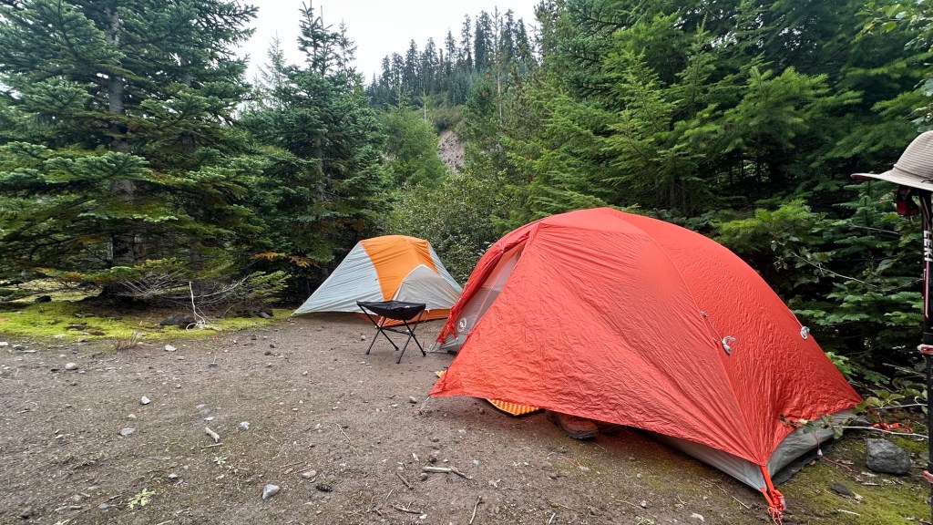
Tomorrow we’ll start our day by descending down to the river before we make a steep climb to the edge of the Blast Zome.
Stay tuned as the adventure continues in the days ahead…

Author’s Note: If you enjoyed this post, leave a comment or repost to your social media. Also, feel free to explore past adventure series by clicking the “HOME” button below.

