Adventure can occur right around the corner or in far off, distant lands. This site exists to share my enthusiasm for adventure using vivid stories and amusing anecdotes. I hope it inspires your own desire to explore the world around you… Select a DESTINATION and begin your ADVENTURE!!
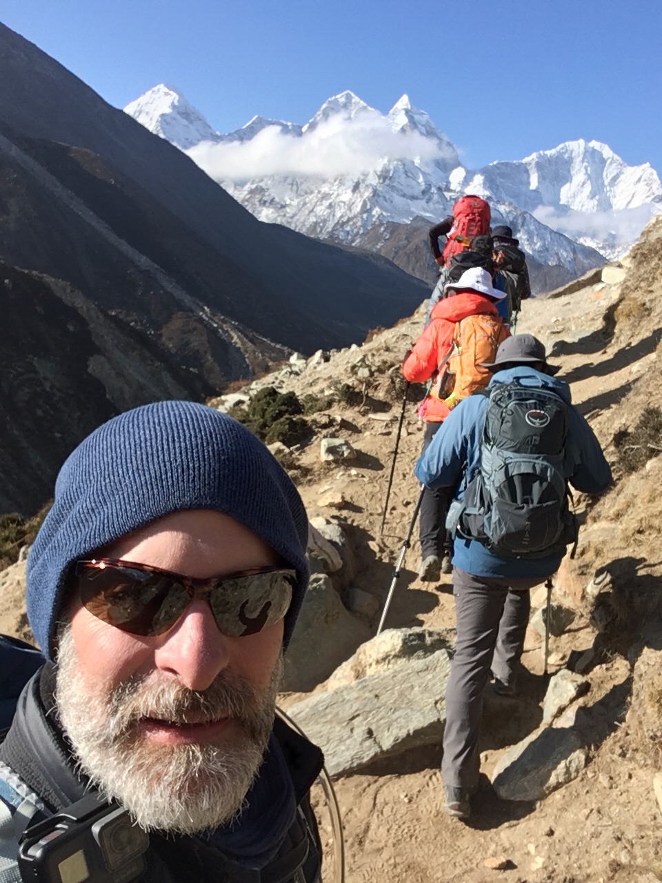
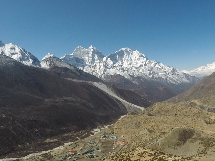
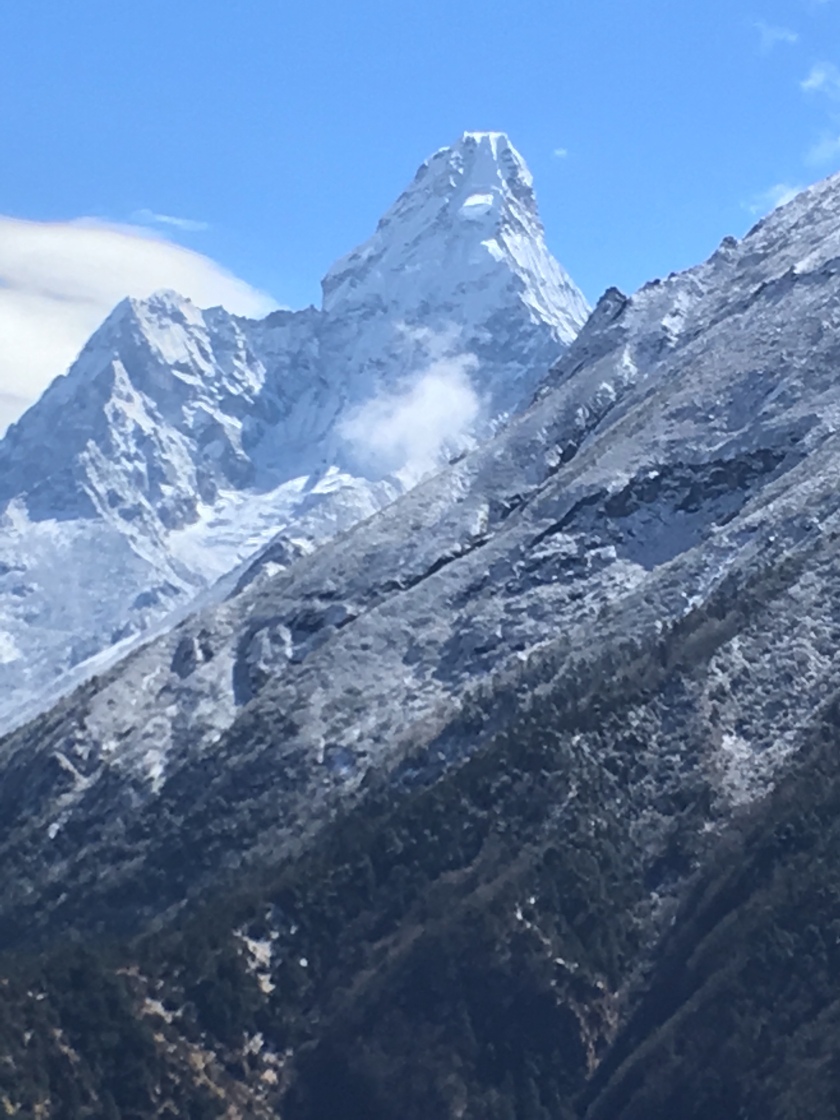
Departing Periche with stunning views of Thamserku and Kantega.
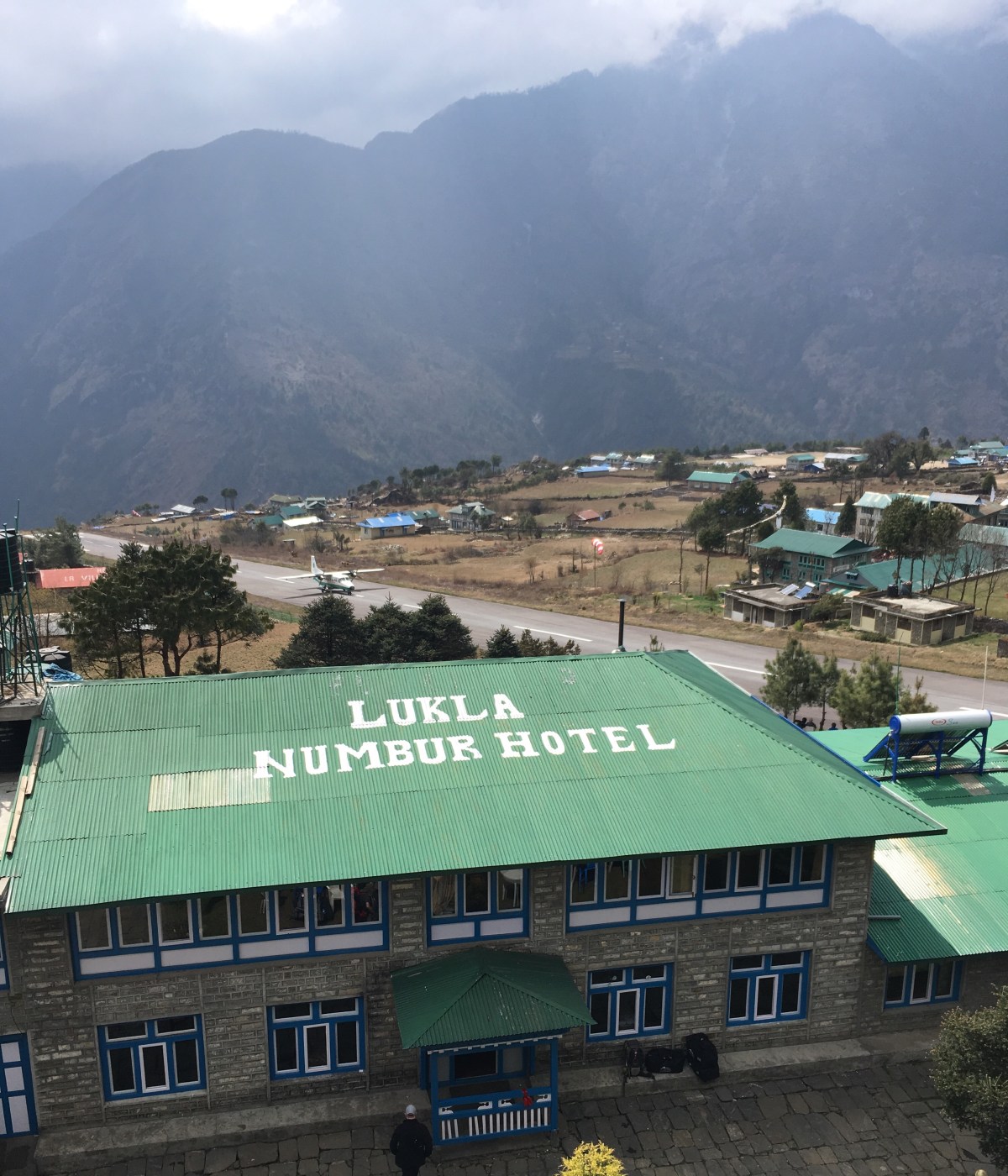
In the past two days we have hiked 21 miles while descending from Periche (13,900’) to Lukla (9300’), crossed 11 suspension bridges over the Khumbu and Dudh Koshi rivers, and seemingly spent more time going up than going down due to the constantly undulating terrain.
Is this thing safe?!
Two bridges… we crossed the high one.
Despite the long days, we continued to be impressed by the Sherpa people who live in the many small villages along the trekking route. This gentle culture is generous and kind. We were fortunate to have three of the very best guides (Kalden Sherpa, Nigma Sange, and Dorjee Sherpa) who cared for our every need, shared their culture and knowledge, and even opened their homes to us. This has been an experience that none of us will forget.
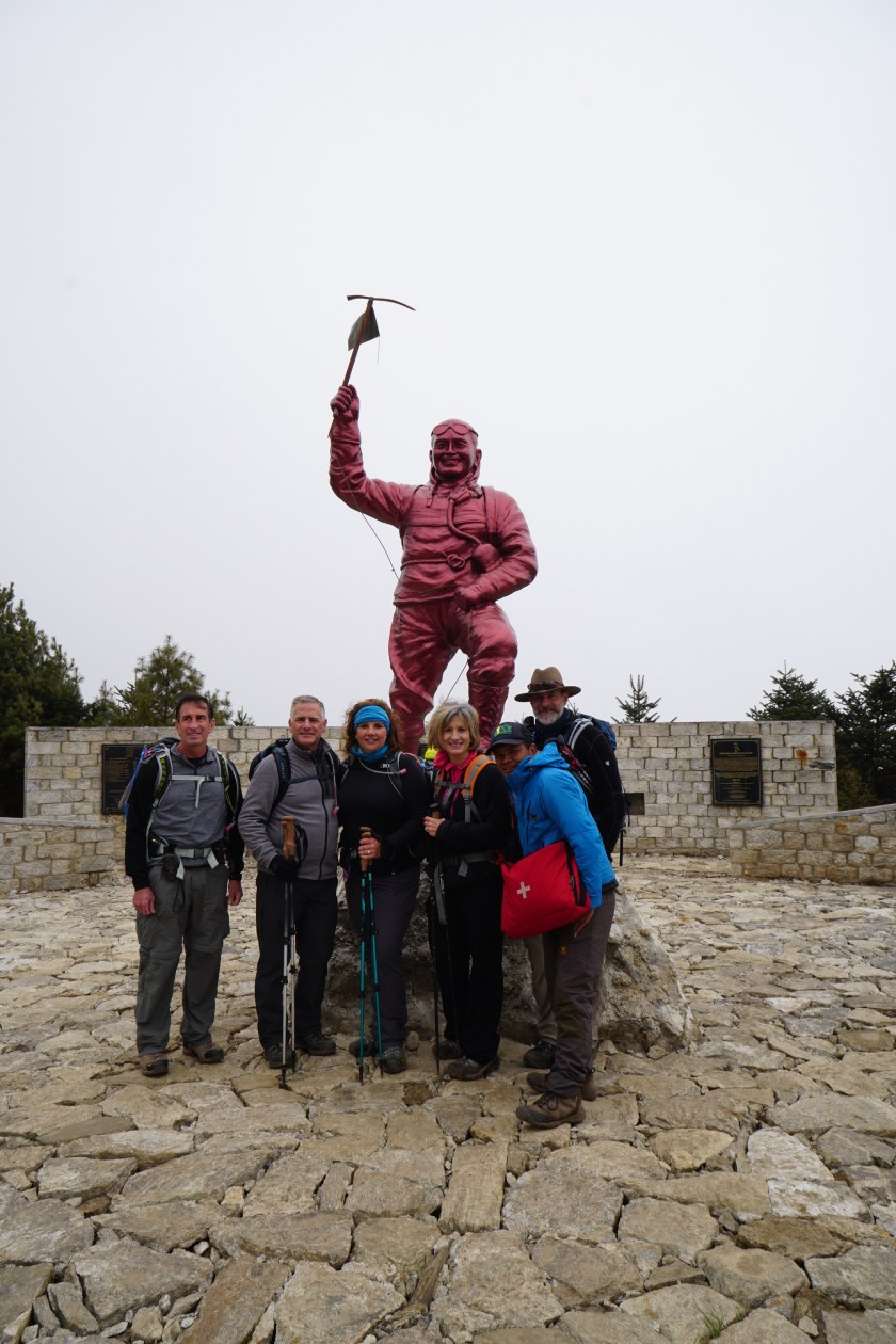
Nigma, Dorjee, and Kalden at the monument to Tenzing Norgay.
Some days have been challenging, and a few in our group dealt with symptoms of Acute Mountain Sickness (nausea, headache, loss of appetite, etc.), but in the end we pushed through the difficult moments and were rewarded with inspiring views and indelible memories of Nepal.
Just to dispel any thoughts that this is a relaxing vacation, allow me to give you today’s Trek Itinerary:
3:00 am: Wake up after a night of virtually no sleep due to the altitude.
Put on practically every piece of layering you have.
3:30 am: Enjoy tea and biscuits (cookies) in the unheated and unlighted dining area without disturbing the 4 or 5 Sherpa guides who are sleeping there.
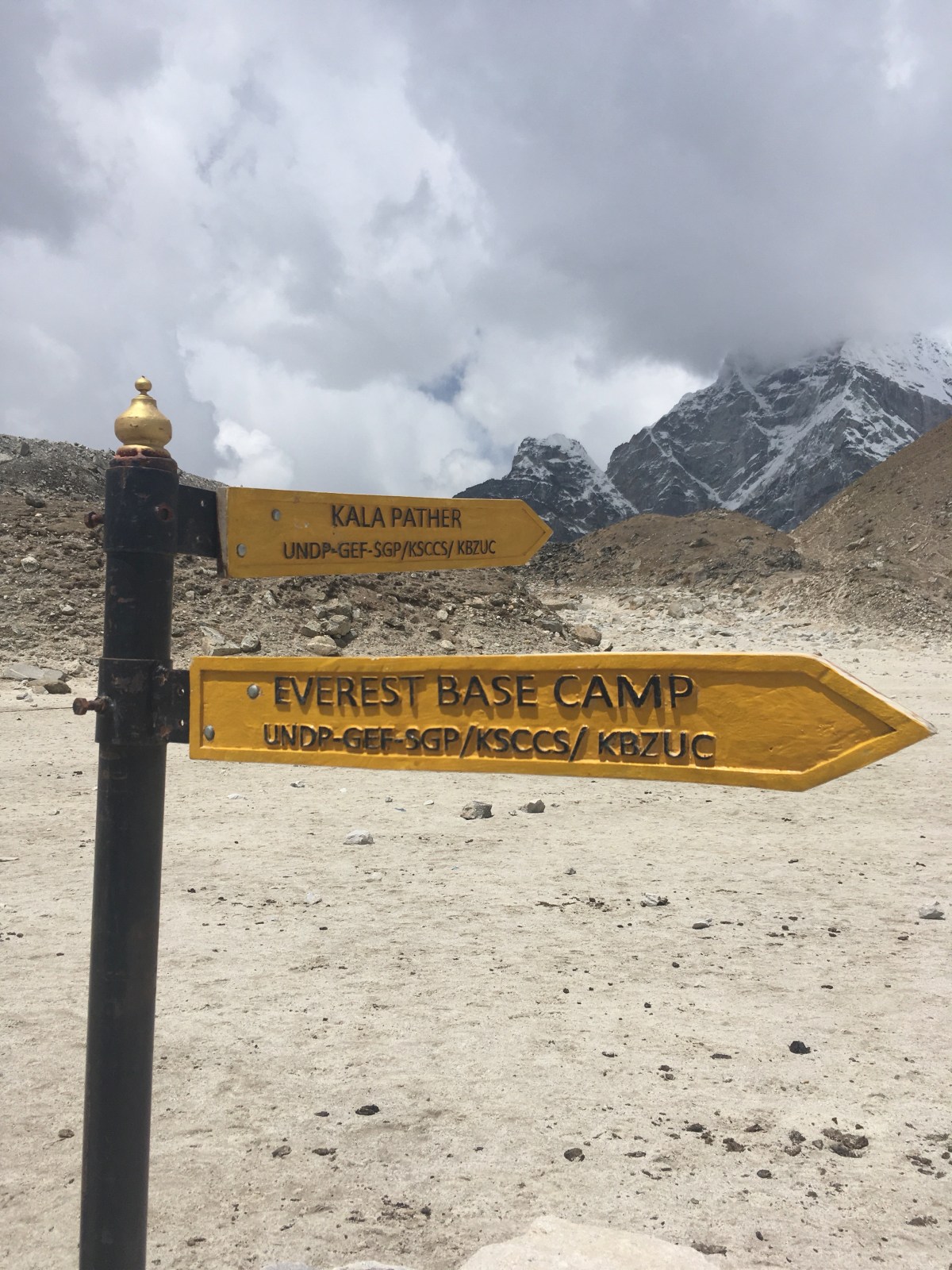
4:00 am: Begin an invigorating early morning hike to the top of Kala Patthar to work on aerobic fitness. This hike features a 3.75 mile out & back trail with a “slight” incline, a starting elevation of 16,950’, and the peak elevation at a “breathtaking” 18,500’!
6:30 to 7:00 am: Enjoy stunning views of Mt. Everest and other Himalayan peaks (due to the unpredictable weather… we can offer no guarantees)
7:00 am: Enjoy a gravity assisted descent back to our start point.
8:00 am: Breakfast (enjoy the same selections you’ve had all week, but remember to avoid all cheeses and meats!)
8:30 to 9:00 am: Rest, but remember to pack all your gear for the next event on the itinerary.
9:30 am: Enjoy a refreshing 8.25 mile hike, featuring winding inclines (both up and down) with lots of rocks and boulders to test your balance and footing.
4:00 pm: Arrive at your destination for the day, the rustic village of Periche, lying in the Khumbu River valley. Enjoy lovely views of yaks grazing outside your window as you recount the experiences of the past 12 hours.
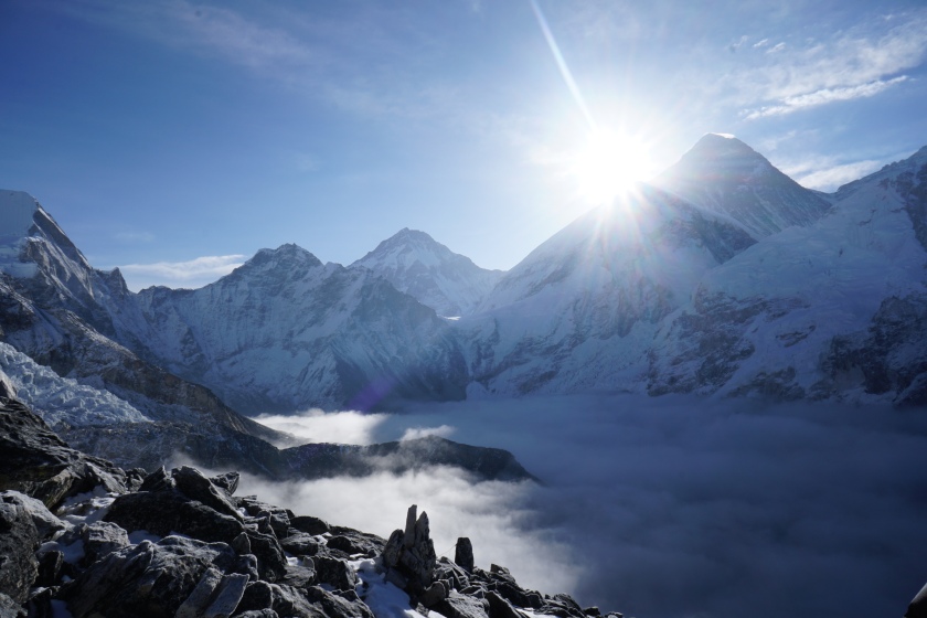
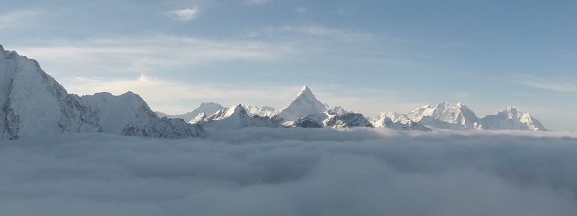
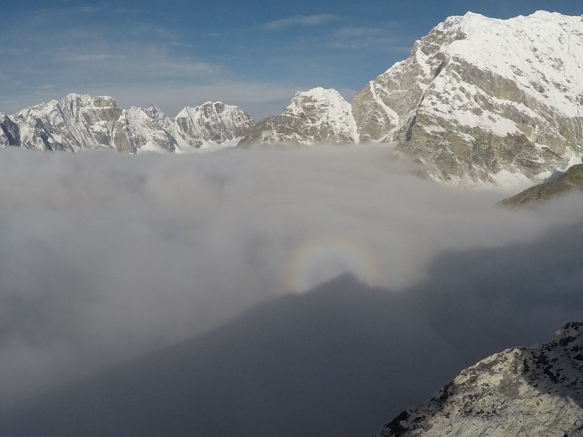
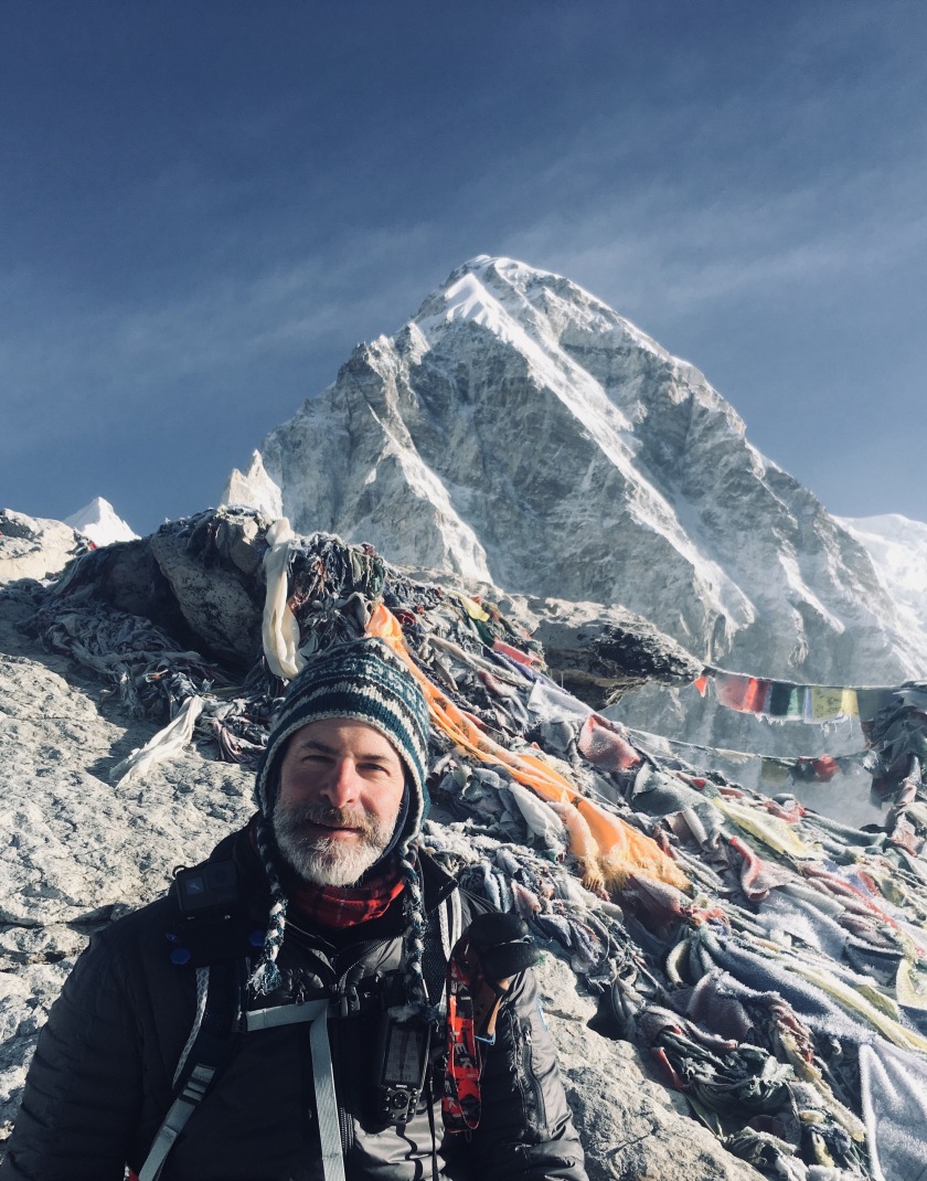
Seriously, it was a long grueling day, especially with the ascent of the 18,500’ Kala Patthar. We began in the dark with sub-freezing temperatures and fog, with absolutely no guarantee of seeing anything when we got to the top. When we finally did reach the summit 2.5 hours later, it was overcast, but there were glimpses of the sun shining on Pumori through the cloud cover to give us hope that the mist would lift. Our patience paid off and we were rewarded with clear skies and a 360 degree view of the Himalayas. We were also witness to the sunrise as it peaked from behind Everest… an amazing sight and experience. I’ll let the pictures tell the rest of the story.
Summit of Kala Patthar (18,500’) with Everest and Nuptse..Sun rising behind Everest with fog in the valley below.Ama Dablam and other peaks from summit of Kala Patthar.Rainbow around shadow of Everest!On summit of Kala Patthar with Pumori looming.destinationadventure.org
Today was a long day with a satisfying ending. We started our day with a 6:15 am start from Lobuche, after a night of limited sleep due to oxygen levels that are about 50% of what is available at sea level. After leaving Lobuche we hiked uphill for about four hours from 16,300’ (4,970m) to 16,950’ (5,165m) to Gorak Shep, the final, remote outpost prior to Mt. Everest Base Camp.
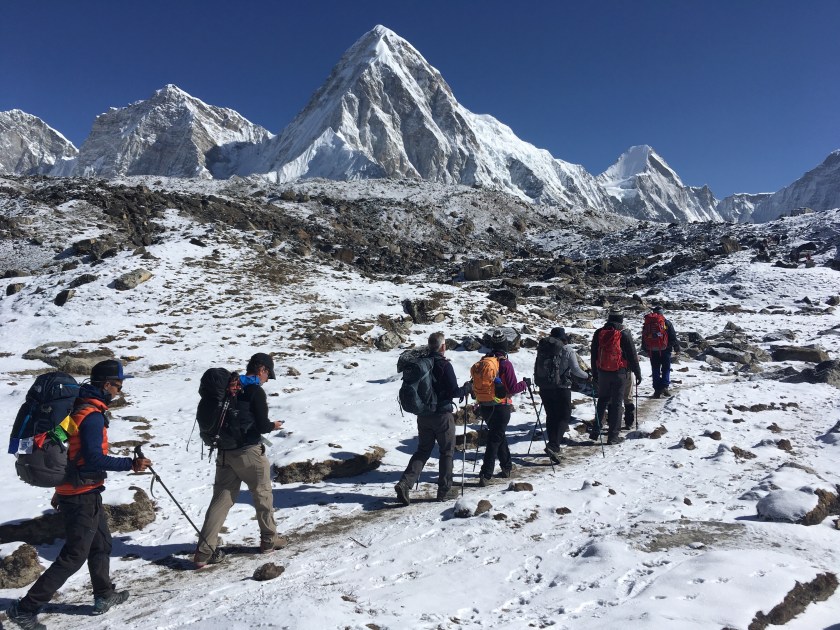
On the trail from Lobuche to Gorak Shep, with a spectacular view of Pumori!
We enjoyed a quick lunch of Sherpa Stew (similar to a hearty chicken noodle soup, without the chicken) and some hot chocolate. Then it was off for another 2.5 hr hike to the base camp. This hike featured very rocky terrain, because we were essentially hiking up the valley created by the Khumbu Glacier. Along the way we caught encouraging glimpses of base camp, which is essentially a widely spread campsite of about 4000 people from various summit expedition teams and all the support staff it takes to feed and house the climbers for the several weeks it takes to prepare for their summit bids in late April thru late May.
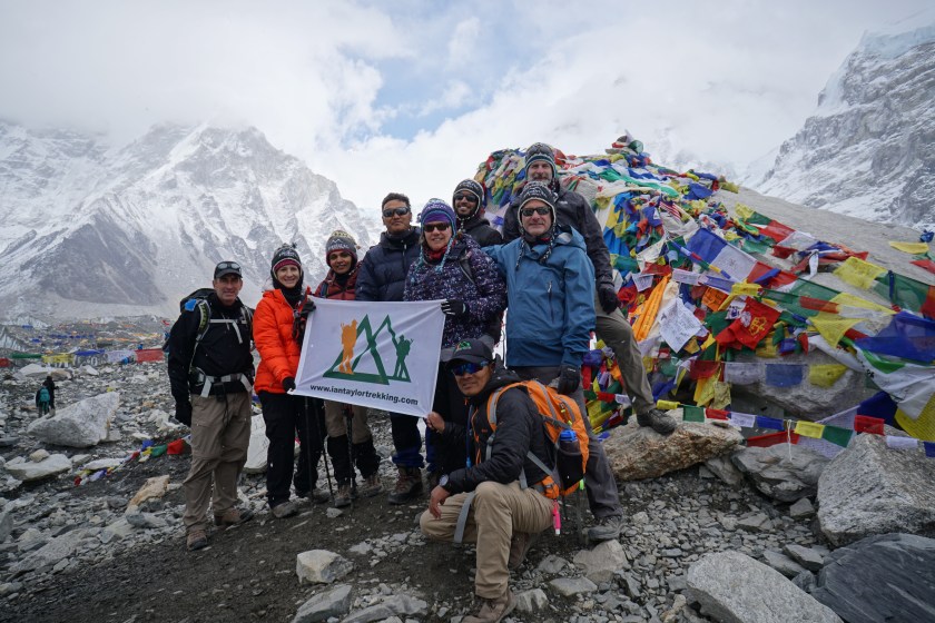
Everest Base Camp!
Our entire group succeeded in reaching base camp! After the requisite photos, we headed back to Gorak Shep for some well earned rest before a very early 3:00 am wake up for tomorrow’s grueling hike to the peak of Kala Patthar, followed by a long descent to the small village of Periche… more on that experience later.
We spent the first of two nights in Dingboche at an elevation of 14,300’, which allows us a chance to acclimatize to the higher elevations we will experience in the next couple of days. Our morning was spent taking a leisurely hike up the hillside behind the village to an elevation of 15,300’, which is at least 800’ higher than the highest point in the continental United States (aka the lower 48). We relaxed at the top, taking in the views all around us while we became acclimated to the thinner air.
The group at the top of our acclimatization hike.
While we were relaxing, a vigorous debate broke out between the Sherpa guides and us, the clients. Our fantastic guides, who have a tremendous amount of knowledge about the Himalayan region, were absolutely insistent that we were sitting at 4,800m (15,745’), while we were equally convinced that we were at 4,665m (15,300’), due to three separate GPS devices saying we were at that elevation! It was actually quite amusing to hear our guides debating in Nepalese while they consulted a map of the region. In the end they concluded that they were right. So in the interest of not creating an international incident, we politely agreed with their conclusion while we held onto our view that a GPS locked into 12 different satellites with an accuracy of +/- 12’ was really the elevation we had attained. After about an hour at the top, we descended steeply back down to our tea house, the Summit Hotel.
This particular hotel seems to have an on again, off again relationship with running water, which makes it a bit of a guessing game when it comes to using the toilet; I will probably be writing a blog post at some point simply to describe the wide variety of bathroom experiences we’ve “enjoyed” during our trip.
Day 9: Dingboche to Lobuche (final stop before EBC)
We are excited to be close to the destination of the trek, Mt. Everest Base Camp, and everyone is preparing for the long days ahead. Today was our final “short” day as we hiked from Dingboche to the even smaller village of Lobuche, which lies at an elevation of 16,175’ (4,930m). Half of the 5.7 mile hike was in a large gradually rising steppe which was very pleasant, especially since the sun was shining and there was only a light breeze. After crossing the headwaters of the Khumbu River, which originates at the famous Khumbu Glacier at the base of Everest, we (… that should really read “I”) enjoyed a nice lunch of fried rice and garlic soup… I thought it was pretty good, but some of the more picky eaters chose to forego it in lieu of the snacks they brought with them.
Ron, Alan, Karen, and Deb looking strong on the way to Lobuche!
After lunch, the real work began as we climbed a steep rocky path up to Lobuche. Along the way we passed the memorial site to some of the many climbers who have lost their lives on Everest. From this point forward, the days will be very long. Tomorrow, April 16th, we will pass through Gorak Shep, a very small outpost a few miles from Everest, on our way to Everest Base Camp (17,600’ / 5,365m). Then we will return to Gorak Shep for the night. The next morning we will get a very early 4:00 am start so we can climb to the top of Kala Patthar (18,500’ / 5540m) for what we hope will be an up-close sunrise view of Mt. Everest. Then the long hike back thru Gorak Shep (for breakfast), before we head downhill for about 7.5 miles all the way to Periche. After a night there, we have two more long hikes (Periche to Namche Bazaar & Namche Bazaar to Lukla).
This morning we woke to frost… on the inside of our room’s windows! I never thought I’d need an ice scraper just to look outside, but once we did clear the ice, our reward was a clear blue sky and a view of Everest! Since it had snowed the previous evening, it was quite icy outside, a bit breezy, and very cold. Thus, it was time to plan the various clothing we would wear and the extra items we would carry in our packs. As described in the “Day 6: “Wow!!”” post, the weather can change quite a lot throughout the day, so we need to plan for a variety of conditions.
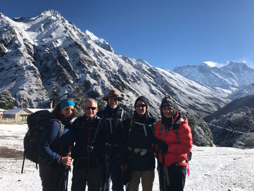
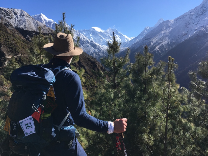
Deb, Alan, Don, Ron, and Karen bundled up at the beginning of our hike from Tengboche to Dingboche, with the peak on Everest just visible…
For most of us we chose a middle of the road set-up which included several layers on the upper body, heavy gloves, wool hats, buffs, and a single layer on the lower body. We also carried our rain gear, which doubles as a windbreaker, and our down jackets… just in case.
The Day 7 trek was a 6.5 mile, 7 hour hike from Tengboche to Dingboche (a small farming village at 14,150’ elevation). Now, some of you may be thinking “how in the world does it take 7 hours to hike 6.5 miles?” Well first, we are at very high altitudes, so this is very much a journey rather than a sprint. The slow pace has a few benefits, namely that we can maintain the pace without breathing too heavily, which helps to prevent respiratory issues. Oftentimes on the trail, we will see other trekkers who had passed us with a faster pace, only to see them again due to their need for more frequent stops to catch their breath. The slow pace also allows us to enjoy the stunning scenery all around us, and take pictures of what may be a once in a lifetime experience.
Today’s hike actually started with a downhill section on an icy trail through a beautiful juniper and rhododendron forest. The trail was quite busy considering it was only 7:30 in the morning. It felt as if we were on the main artery of the “Himalayan Highway,” sharing the trail with other trekkers, numerous porters, and several large groups of yaks and jupje (a hybrid between a yak and a cow). We continued our descent until we once again crossed the Dudh Koshi river using a high suspension bridge. We then began a gradual climb that would last the rest of the day.
Looking back at Thamserku (foreground) and Kantega from about 13,000’…
Along the way we were once again surrounded by high and rugged mountains, with an added bonus of some wildlife and dramatic animal moments. Early in the day a yak somehow got stuck when it’s cargo got tangled in a tree branch. When the handler finally freed it by breaking the branch, the loud crack spooked the animal and it began to run uncontrolled through the trees until its cargo slipped to the side and again got stuck, causing this large, fast moving animal to come to a sudden stop, seemingly stunned. Later in the day we got a close view of two wild mountain goats grazing in the hillside above the trail. But, perhaps the most dramatic moment came as we were approaching Dingboche.
On the outskirts of town we could see a large pack of dogs harassing a couple of yaks grazing in their pen. Another dog, which had been following our group since our lunch stop several hours earlier, began to bark. Immediately the pack turned their attention from the yaks to this new threat, and sped directly toward our group. What ensued was a frenzy of dogs running all around us, while our companion dog stood her ground, fearless amongst the threatening pack. It was certainly a unexpected sight, but we arrived safely in Dingboche where we will be spending the next two nights with another acclimation day in between.
Today we departed the thriving village of Namche Bazaar for our new destination, the small village of Tengboche. We woke to beautiful blue skies and were excited about the opportunity to see unobstructed views of some of the world’s highest mountains.
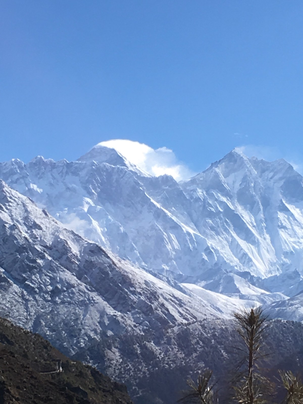
Once we completed the steep climb out of Namche, we enjoyed a relatively flat trail along the mountainside. Hiking north, the terrain rose steeply to our left and dropped off precipitously on our right. After just one hour of pleasant hiking, we rounded a corner and had the first truly “wow” moment of the trip. Lying in the distance ahead of us was a pristine view of the peak of Mt. Everest with a stream of wind-driven snow blown by the jet stream, billowing off the top. Directly in front of Everest was Nuptse, which looks like long jagged wall protecting Everest, and Lhotse (the fourth highest mountain in the world). Off to the right was the dramatic profile of Ama Dablam and the jagged Thamserku. Pictures truly cannot capture the scale and majesty of the sights we were seeing.
This is what we came to see!The “wow” moment… our first view of Everest! (with Nuptse in the foreground and Lhotse to the right)
After taking a lot of pictures, we continued our trek to Tengboche which lies at an elevation of 12,700’. Unfortunately, we had to go steeply down into the Dudh Koshi river valley before crossing another suspension bridge and regaining all the altitude lost before climbing steeply up to Tengboche. Fortunately, the acclimatization hikes we did in Namche prepared us well for today’s test. Everyone in our group maintained a good “Sherpa Pace” and completed the climb with relative ease.
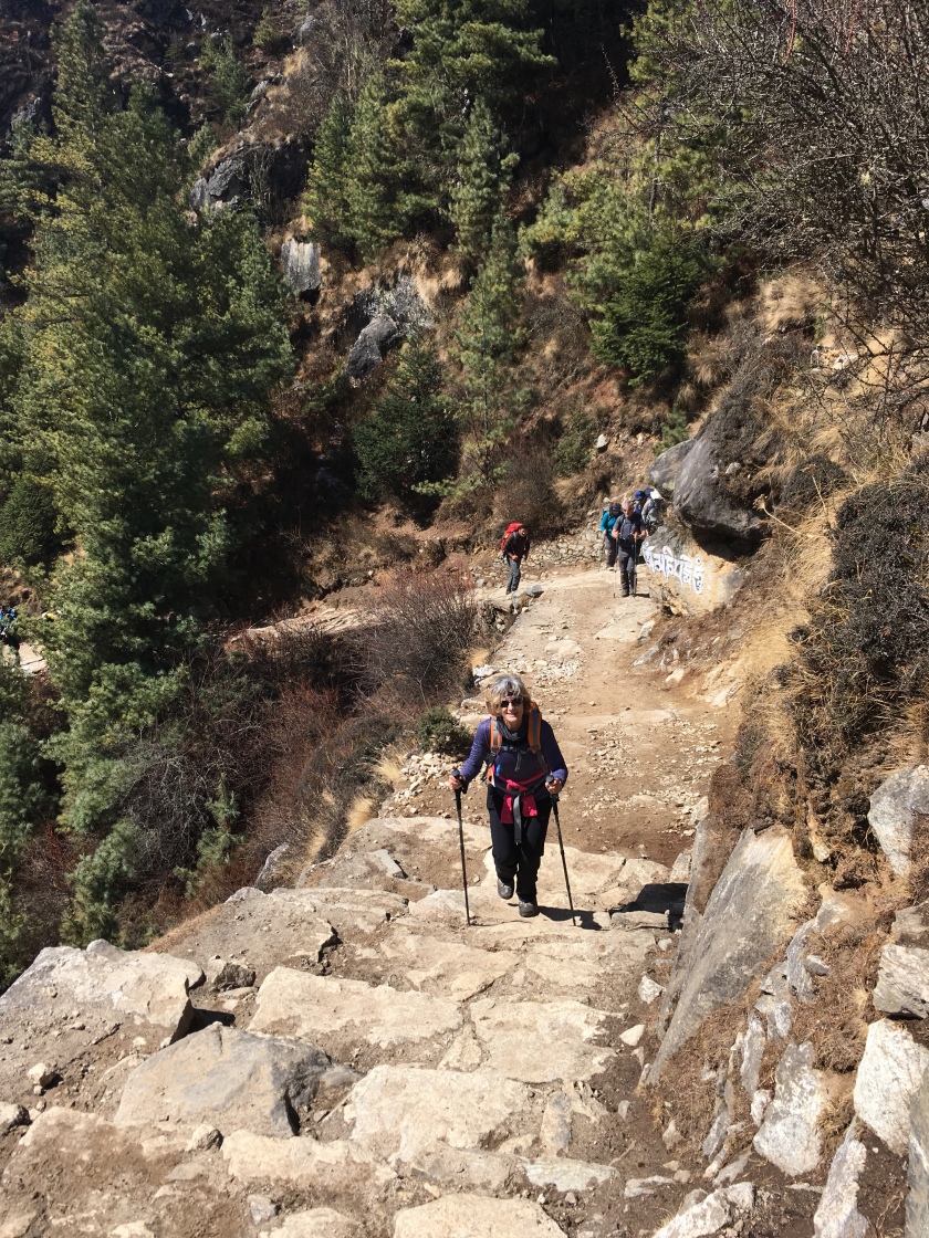
Karen climbing up from the Dudh Koshi river crossing…Ama Dablam as seen from the trail between Namche Bazaar and Tengboche.
Another interesting thing about today was the weather… it changed dramatically throughout the day. What started as a clear sky with warm sunshine, gradually changed as the clouds rolled in and began to obstruct the views all around us. During lunch, right before our big climb to Tengboche, it was completely overcast with a cool breeze. Finally, during the ascent, we had to put on our rain gear due to a steady rain. Continuing upward, the rain turned to snow for our arrival at Tengboche. As I write this blog entry, I am sitting in the main room of the tea house, near the only heat source… a wood burning stove in the middle of the room, while the snow continues to fall heavily outside.
More adventures tomorrow as we head off to Dingboche…
Today we woke to a beautiful blue sky and a fantastic view of the mountains. Since we were heading to a viewpoint above Namche Bazaar, we were hopeful that the weather would hold and we would get glimpses of Everest, Lhotse, and Ama Dablam. After a nourishing breakfast and 2 liters of water (… we are strongly encouraged to drink 4 to 5 liters per day), we headed upward and out of Namche to the Shyangboche viewpoint. This was a good test for us because we ascended from 11,285’ to 12,765’ which will be similar to the altitude we will be at tomorrow when we go to our next stop along the way, Tengboche.
Don, Deep, Karen (hidden), Rani, Alan, Deb, Ron, Dorjee and Nigma (Sherpa guides), climbing to viewpoint.
Our Sherpa guides are doing a fantastic job of helping us maintain the “Sherpa Pace,” as we hike. This slow, but steady pace keeps our breathing under control and has allowed everyone in our group to feel strong throughout our hikes.
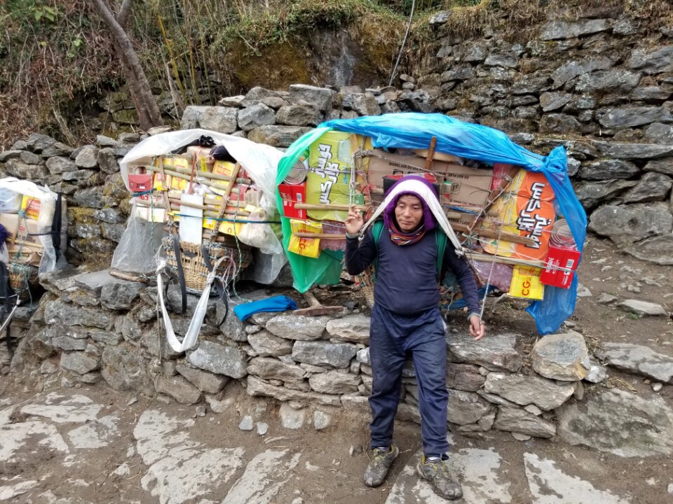
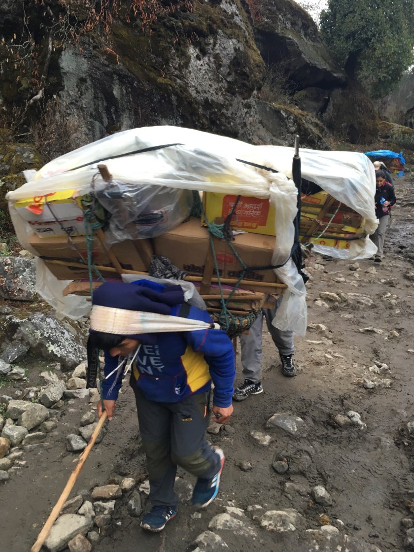
Along the way we passed a small, dirt airstrip that serves as the resupply hub for construction materials and other heavy items used in the villages above Namche, and the various mountain expedition base camps. This regional trans-shipment point is unlike anything you would see in the U.S. Instead of trucks for transportation, everything is loaded onto yaks, or Sherpa porters. The loads these men carry can be up to 100kg (220lbs)!
Ultimately we made it to the viewpoint, but the clouds had moved in. We were able to get a few brief glimpses of Ama Dablam and Lhotse. Finally we headed down, took a brief rest and enjoyed a cup of hot tea, then returned down the trail to Namche.
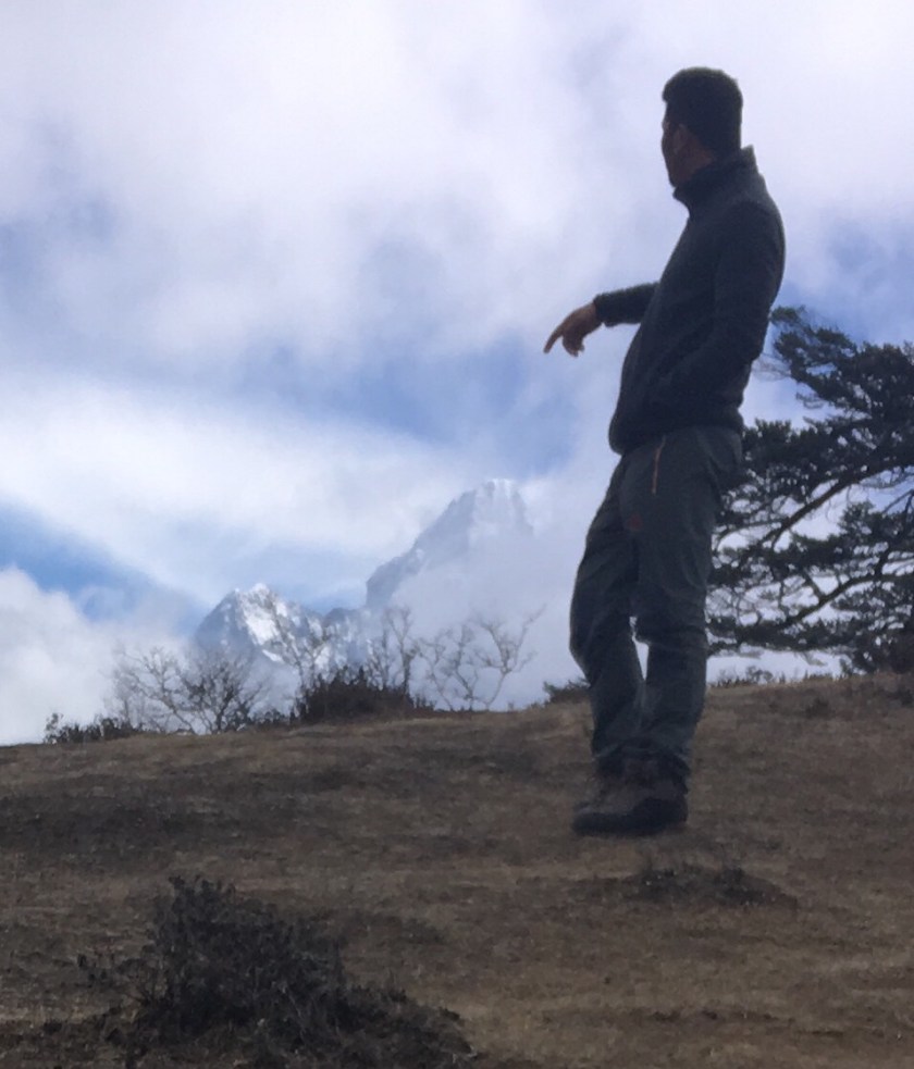
Kalden Sherpa (head guide) with his favorite mountain, Ama Dablam.
Tomorrow we are on the move again and are looking forward to more new experiences and sights.
Today was the first of two full days in Namche Bazaar, a large, vibrant village located in a steeply terraced u-shaped bowl. This thriving community of about 1000 inhabitants is the capital of the Sherpa people. It is also the commercial and transportation hub for the many trekkers, climbers, and expedition teams who are hiking or attempting to climb a wide variety of the local mountains.
For us, it was a relaxing day with a short hike to the Sherpa Museum that sits on an overlook above Namche Bazaar. On a clear day there is a spectacular view of Mt. Everest and Kongde Ri. We did get brief glimpse of Everest between the clouds, but not good enough for a clear picture. Our head guide, Kalden, said that Chomolungma (the Nepali name for Everest that means “Mother of the World), was shy today. We will have another opportunity to see the mountain tomorrow, so hopefully we will have clear skies. After our short excursion we returned to town for lunch and an afternoon of shopping.
Ron, Alan, Deb, Karen, Nigma (Sherpa guide), and Don at the Tenzing Norgay statue (1st Sherpa to reach summit of Everest / Hero to the Sherpa people)
Allow me a brief interlude to talk about our lodging and meals… as I may have mentioned in previous postings, we are lodged and fed in local tea houses in villages along the trek route. As we climb higher, the accommodations become more and more basic. Thus far we have been comfortable and well-fed, even though the rooms aren’t heated and mostly don’t have electricity. Depending on how adventurous you are for meals, there is usually a wide variety of menu items to choose from. We have been cautioned, though, to avoid meat and cheese in the villages above Namche Bazaar for the simple fact that they receive less frequent re-supplies.
All of the villages above Lukla, our start point, are solely supplied by porters carrying incredible loads supported by a strap around their forehead, and various yak or donkey trains. It is humbling to see these porters carrying tremendous loads, usually wearing sneakers or sandals, speed by you as you are climbing the same trails.
Day 2 of our trek to Mt. Everest Base Camp was a hike from Phakding to Namche Bazaar, the largest village on our trek and a major resupply point for trekkers and climbers. It is amazing to see so many people from all over the world sharing the same experience. We have talked to people from Australia, Germany, Ireland, India, and Iran. I am certain that this is only a small sampling of the nationalities represented.
Unfortunately the quality and availability of WiFi varies greatly and this impacts the ability to share pictures. When possible I will include pictures, but for now the blog posts will not include pictures. If possible I will retroactively upload photos when the coverage improves.
We woke up to beautiful views of Thamserku, a 21,712’ peak. This single mountain, which seems to be average for the Himalayan range, is still 1400’ higher than the highest mountain in North America, Denali. As we passed through many small villages during the day, we encountered Nepalese families living their lives. We had fun greeting the children who were outside playing and doing chores, and we enjoyed sharing some of the gifts we brought along.
After lunch, we began the climb up to Namche Bazaar which lies at 11,283’. The climb included crossing a very high suspension bridge over the Dudh Koshi river. All I can say is you better not be too afraid of heights when crossing a 3’ wide metal bridge supported by steel cables that sways and bounces with all the people crossing.
We will spend a couple days in Namche Bazaar to help with acclimatization for the days ahead when we go to even higher altitudes. So far, everyone is doing great and feeling strong… I’m sure a result of our serious pre-trek training.
Today we had an early wake up in order to get to the airport for what was scheduled as a 7:35 am flight to Lukla, where our trek begins. Once at the airport it quickly became apparent that there were no flights in or out of Lukla due to a very low ceiling and less than an eighth of a mile visibility. This airport is considered one of the most dangerous in the world due to the combination of it’s elevation (9334’), length of runway (1729’) slope of runway (11.7 deg gradient), and a steep drop off at the approach end of the runway.
Screen capture of weather at Lukla… not good!
We ended up taking the helo…
Since there were no flights to Lukla, the departure terminal quickly became a crowded hub of anxious trekkers who were concerned about how the unknown delays could affect their plans for the weeks ahead. There were no flights the previous day either, so there was a large backlog of folks needing to get on a plane. For our part we immediately began to weigh options. After awhile the weather had lifted enough for helicopters, so we exchanged our tickets and reserved a helo.
We finally lifted of around noon and landed an hour later where we were met by our guides Kalden Sherpa, Nigma Sange, and Tsering Dorjee Sherpa. After a quick lunch, we were finally hiking around 2pm. With the late start, our head guide, Kalden, determined that we would hike to the village of Phakding for our first night. Although a bit shorter than originally planned, we were finally on the trail!
Our gear on our yaks…
Supplies for the mountain villages…
Although the days ahead will feature some significant elevation gain, during today’s hike we actually descended from 9334’ to 8539’. It was a bit overcast and rainy, but we were all very happy to be on our way. We passed through many Nepal villages and got to see and experience this fascinating culture up close. Finally around 6pm we entered Phakding and found our lodging for the night, the Royal Sherpa Resort… although not “royal” or a “resort,” it was comfortable, had good food, and the opportunity for a good night’s sleep.
Our lodging for the night, while the yaks enjoy a well-earned rest.